WESTMINSTER COLORADO-2016: Aerial View Showing The Extent Of Damage Of The
About this clip
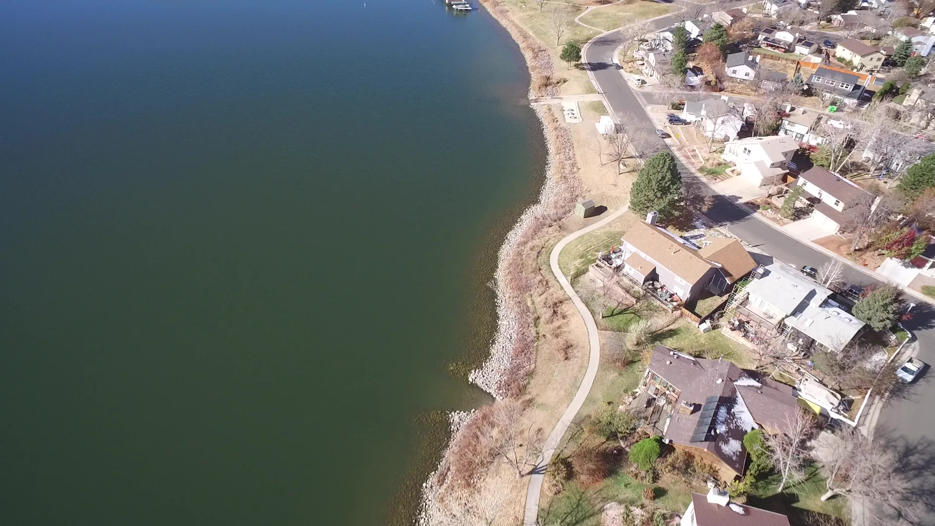
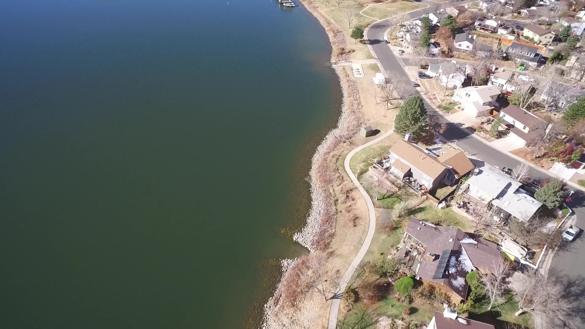
Aerial footage from Westminster, Colorado in 2016 captures the extent of environmental damage along a riparian zone, showing the impact of construction and land changes on the natural landscape. Shot on home movie film, this amateur 5-second clip offers a raw, unfiltered glimpse of ecological disruption. The visuals highlight the contrast between urban development and natural surroundings, with clear views of the affected shoreline and surrounding terrain. This archival-style home movie provides a poignant look at environmental degradation, suitable for documentaries, news segments, or educational content on land use and conservation.
Clip Intelligence
- Production use
- Aerial b-roll for documentaries, news packages, environmental explainers, and local development stories needing a 2016 Westminster, Colorado shoreline view with homes beside open water.
- Edit role
- Use as a short cutaway or transition beat between broader land use coverage and tighter neighborhood or shoreline details, with enough runtime for one clean informational insert.
- Visual details
- The frames show green open water beside a curving rocky shoreline, a paved path, lawns, neighborhood streets, private houses, parked vehicles, a small dock area in the distance, bright daylight, and no visible people.
Shot slate
- Resolution
- 3840 × 2160
- Frame rate
- 29.97 fps
- Duration
- 5s
- Codec
- H.264 MOV
- File size
- 40 MB
- Location
- Westminster, Colorado, United States
- Year filmed
- 2016
- Published
- Nov 2016
Still Frames From This Clip
2 frames exported from the 4K master of this clip, in timeline order. The licensed download is the full-motion master, not these stills.
License this clip royalty-free for $79 (Standard: all media, worldwide, perpetual, up to 1M views) or $199 (Extended: unlimited distribution, broadcast TV, theatrical). Instant 4K download with a license PDF, direct from filmmaker Phil Maher.