PLAYITA BCS MEXICO-2017: Drone Flight Over Landmark On A Hill Turning Left Over
About this clip
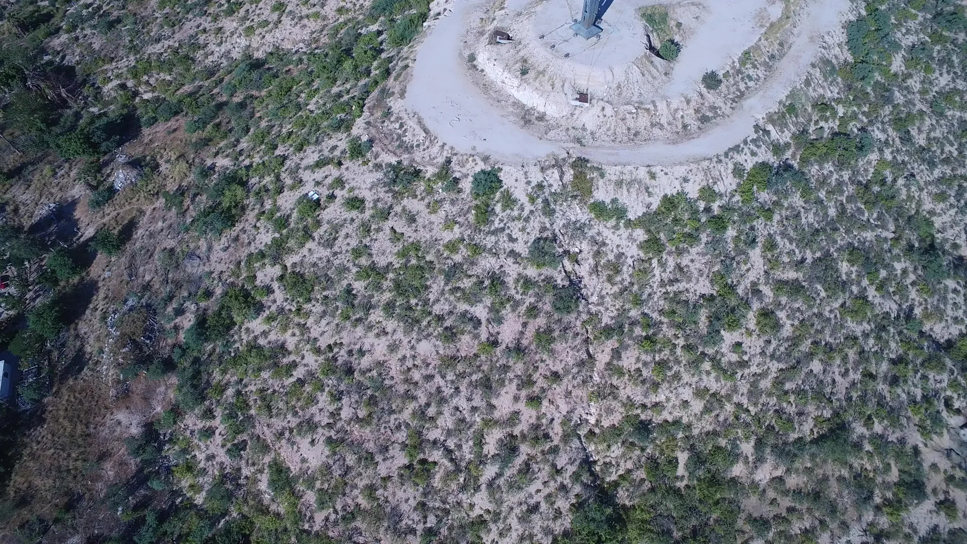
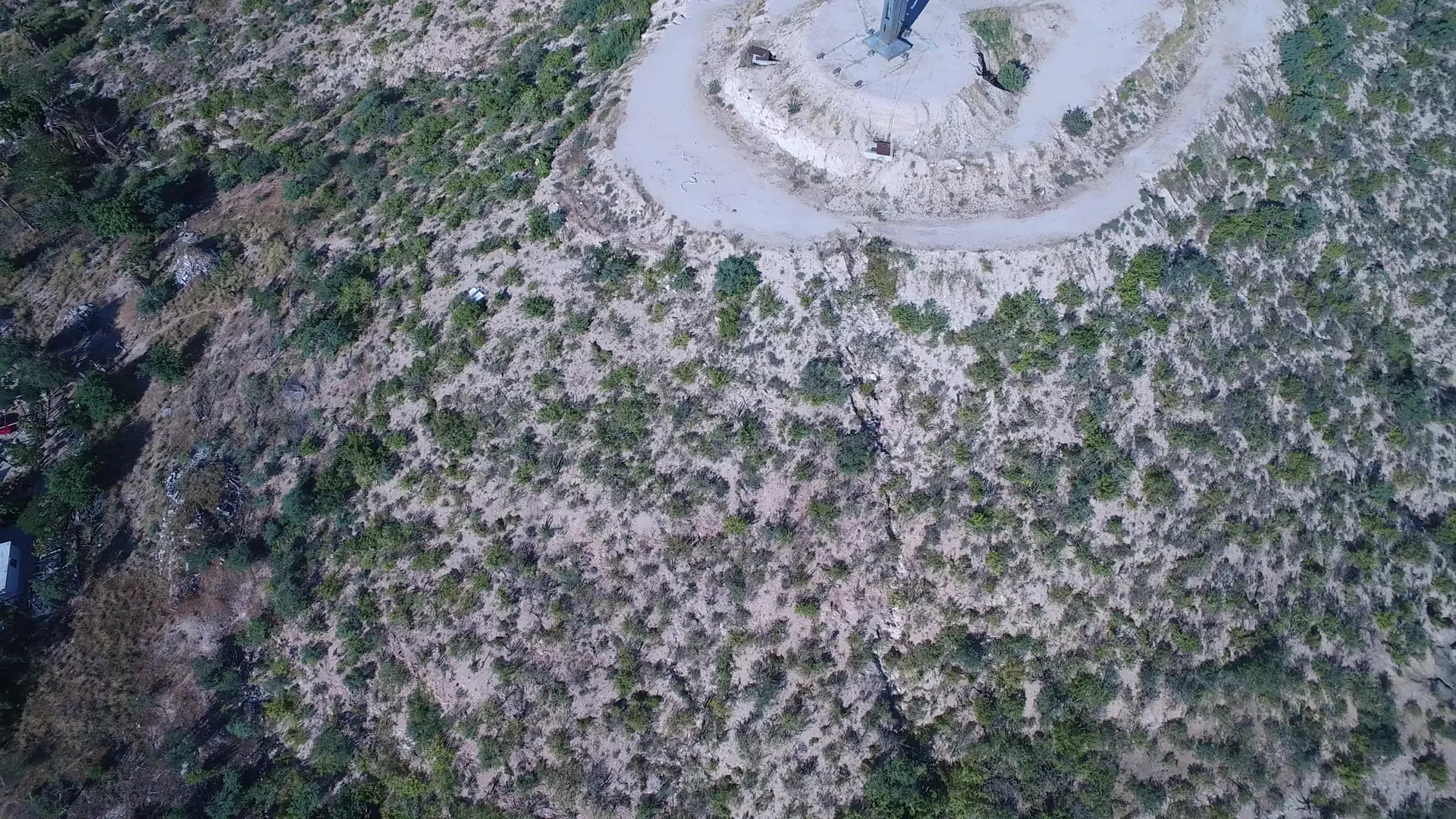
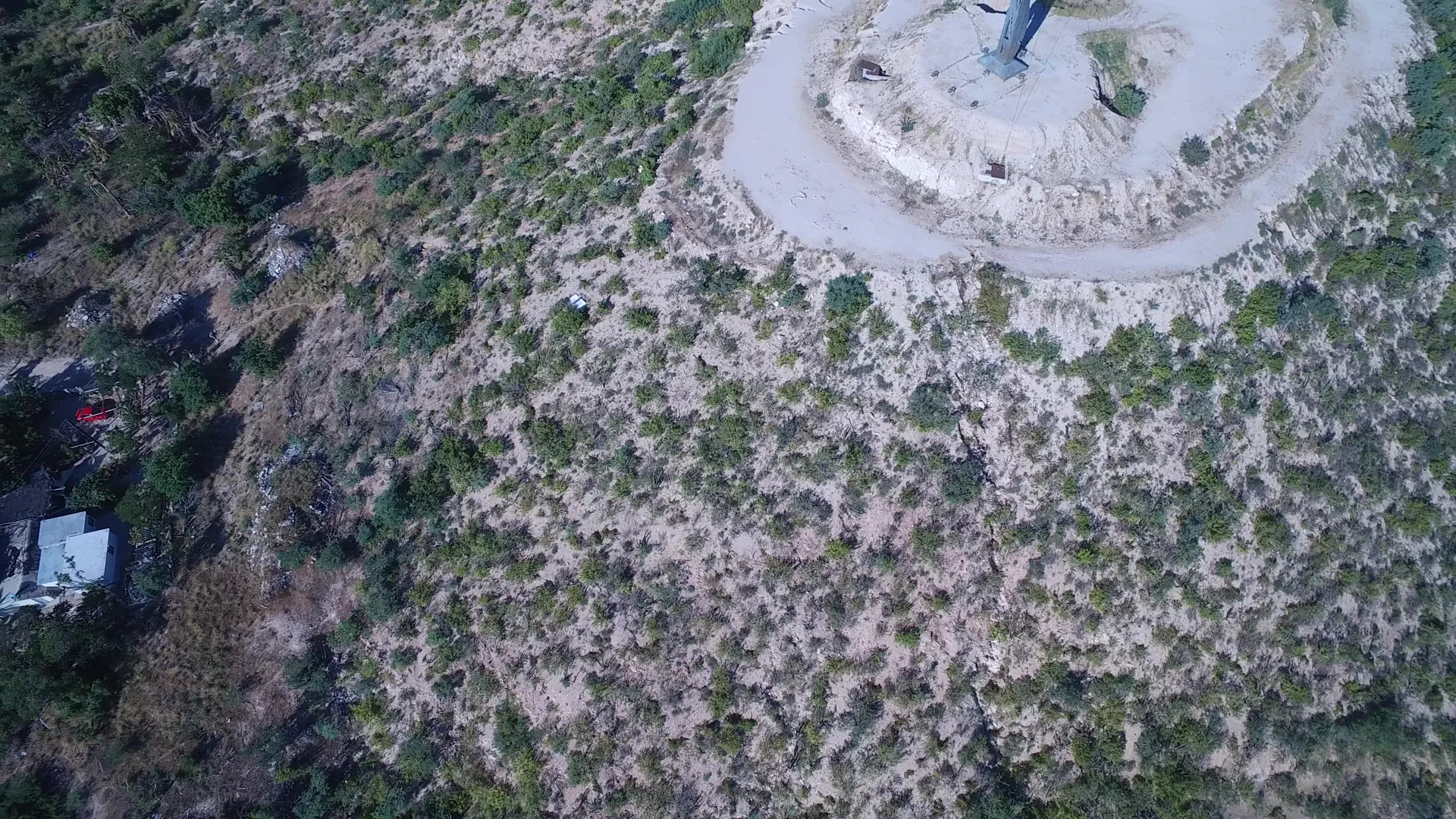
Aerial footage from Playita BCS Mexico in 2017 captures a smooth flight over a hilltop landmark, turning left as it glides past trees and residential homes. The natural landscape blends with suburban structures, offering a cinematic view of the region’s terrain. Shot on home movie equipment, this 6-second clip delivers a nostalgic, intimate perspective of the area’s geography and architecture. Ideal for travel, nature, or lifestyle content.
Clip Intelligence
- Production use
- Useful for travel edits, documentary geography segments, agency mood reels, brand films, or social cuts needing a high overhead view of Playita, Baja California Sur with scrubland, homes, and a hilltop landmark.
- Edit role
- This short aerial works as a quick opener, transition, or geographic cutaway between coastal footage and residential terrain in a Playita sequence.
- Visual details
- The frames show pale sandy hillside covered with scattered green bushes, a circular dirt area around a tall landmark structure, nearby roads, small homes, parked vehicles, and no visible people.
Shot slate
- Resolution
- 3840 × 2160
- Frame rate
- 29.97 fps
- Duration
- 6s
- Codec
- H.264 MP4
- File size
- 45 MB
- Location
- Playita, Baja California Sur, Mexico
- Year filmed
- 2017
- Published
- Oct 2017
Still Frames From This Clip
3 frames exported from the 4K master of this clip, in timeline order. The licensed download is the full-motion master, not these stills.
License this clip royalty-free for $79 (Standard: all media, worldwide, perpetual, up to 1M views) or $199 (Extended: unlimited distribution, broadcast TV, theatrical). Instant 4K download with a license PDF, direct from filmmaker Phil Maher.