PLAYITA BCS MEXICO-2017: Aerial Drone Footage Of An Industrial Site With Canals And Roads
About this clip
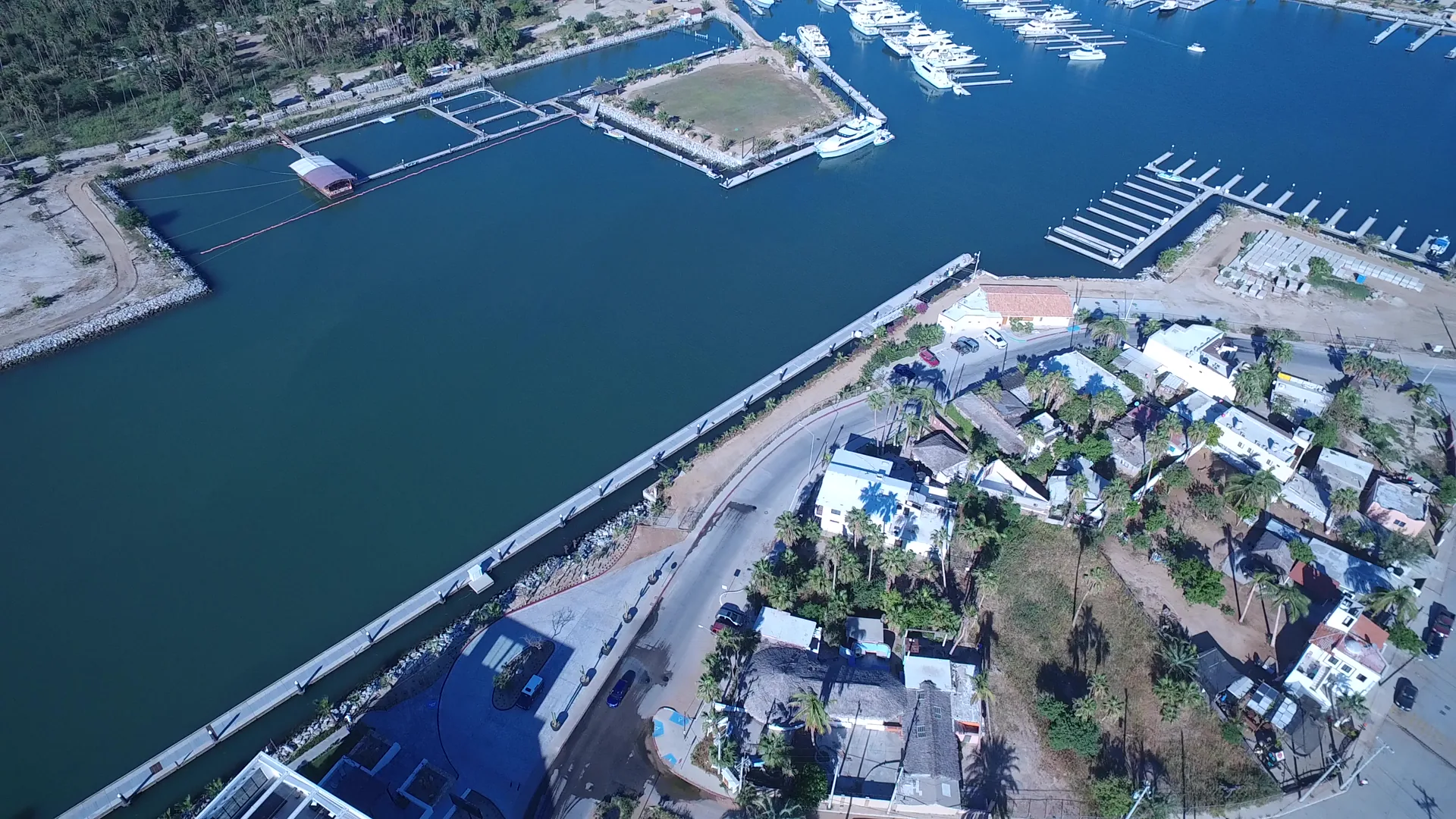
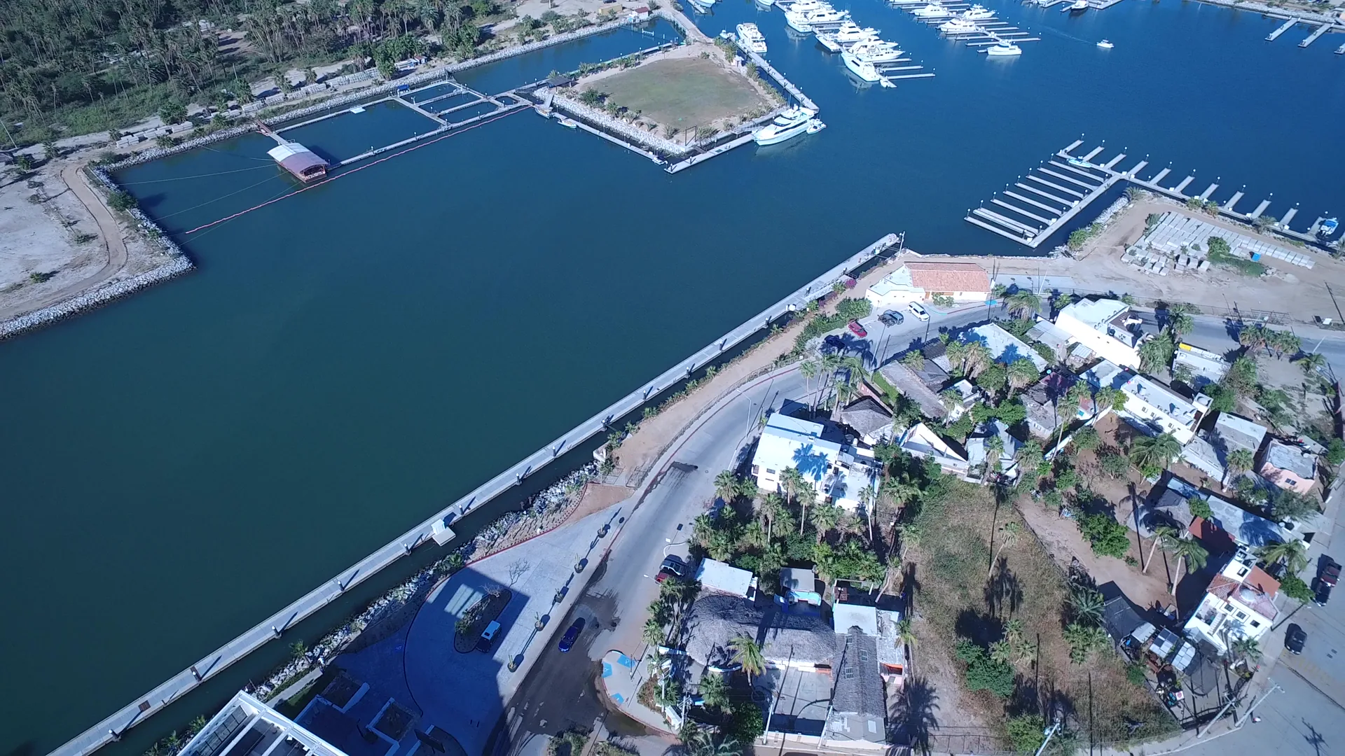
Aerial footage from Playita BCS Mexico in 2017 captures a quiet industrial site with man-made structures, roads, and water features. The cinematic view highlights modern infrastructure along a canal and river, offering a serene yet structured landscape. This home movie-style clip showcases a blend of natural and engineered elements, ideal for storytelling, travel, or architectural content. Shot on consumer-grade equipment, the footage retains an authentic, amateur charm with a sense of discovery and calm observation.
Clip Intelligence
- Production use
- Useful for travel edits, documentary context, agency mood reels, and brand films needing an aerial view of Playita, Baja California Sur infrastructure where canals, roads, marina slips, and low buildings meet the water.
- Edit role
- The short runtime works as a quick aerial cutaway or transition beat between coastal water coverage and land-based development, with enough detail to orient viewers without holding on one subject too long.
- Visual details
- The frames show blue-green canal water beside paved roads, low white and tan buildings, parked cars, palms, docks, marina slips, and open dirt lots under hard daylight, with no visible people.
Shot slate
- Resolution
- 3840 × 2160
- Frame rate
- 29.97 fps
- Duration
- 6s
- Codec
- H.264 MP4
- File size
- 45 MB
- Location
- Playita, Baja California Sur, Mexico
- Year filmed
- 2017
- Published
- Oct 2017
Still Frames From This Clip
2 frames exported from the 4K master of this clip, in timeline order. The licensed download is the full-motion master, not these stills.
License this clip royalty-free for $79 (Standard: all media, worldwide, perpetual, up to 1M views) or $199 (Extended: unlimited distribution, broadcast TV, theatrical). Instant 4K download with a license PDF, direct from filmmaker Phil Maher.