WESTMINSTER COLORADO-2016: Aerial View of Industrial Area with Roads and Buildings
About this clip
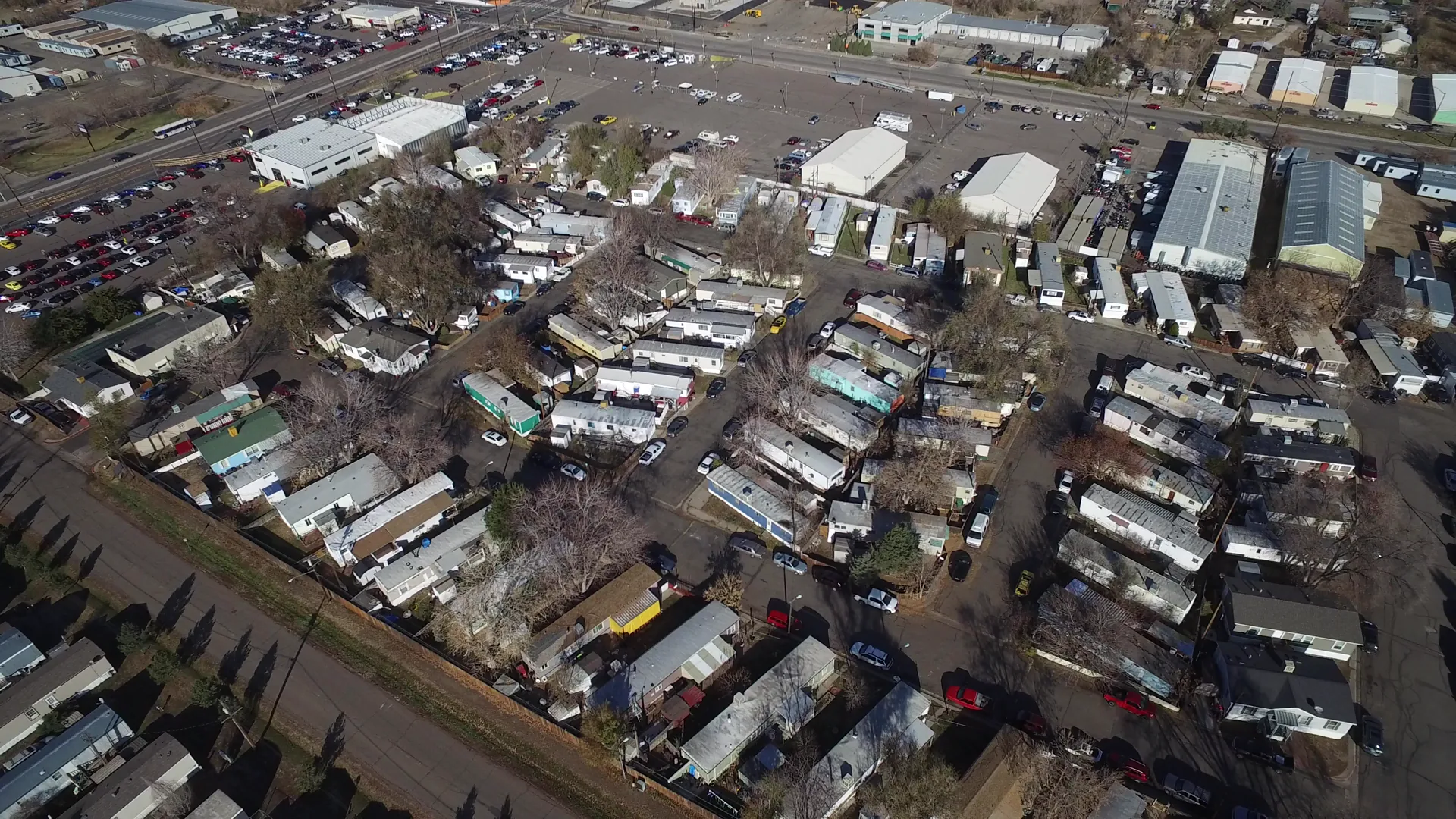
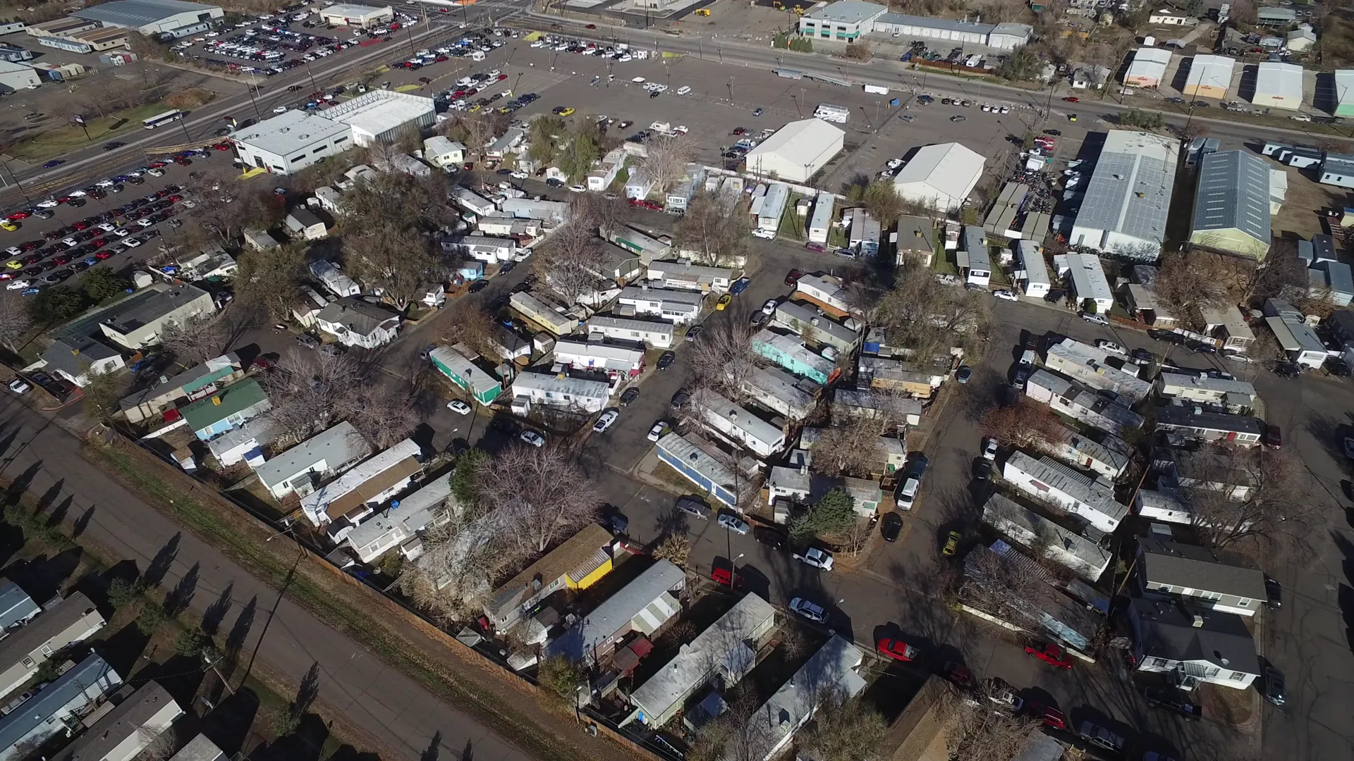
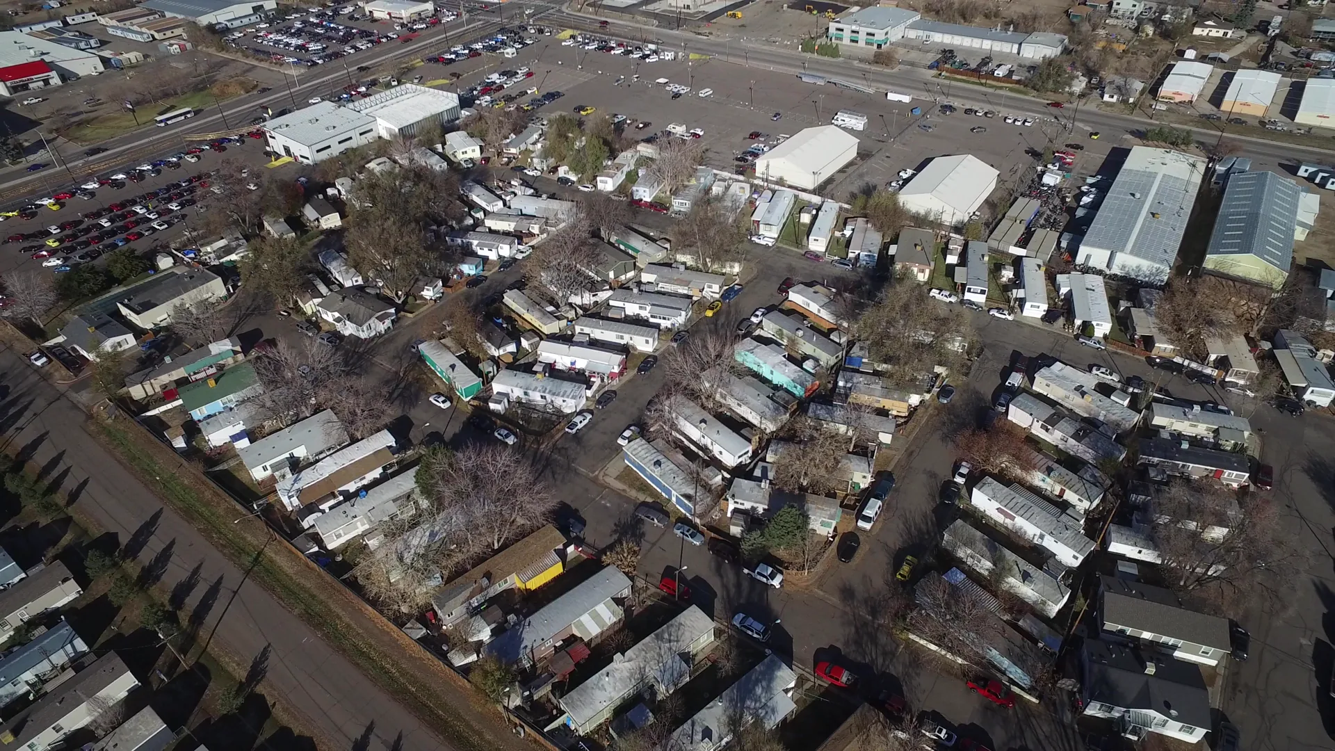
Aerial view of Westminster, Colorado in 2016, showcasing an industrial area with a network of roads, cars in motion, and clusters of buildings. The footage captures a modern urban landscape from above, highlighting the infrastructure and layout of the industrial zone. Shot on home movie film, this clip offers a nostalgic yet contemporary perspective of suburban development and transportation routes. Ideal for documentaries, editorial content, or creative projects exploring urban planning and modern American landscapes.
Clip Intelligence
- Production use
- Useful for documentary, news, planning, real estate, or agency edits needing a 2016 aerial view of Westminster, Colorado industrial edges, roads, parking lots, and manufactured housing.
- Edit role
- Works as a short aerial cutaway or transition beat between street-level material and broader urban development context, with enough duration for a quick geography insert.
- Visual details
- The frames show an overhead view of rows of manufactured homes, warehouse-style buildings, parking lots, paved roads, scattered cars, bare trees, winter-brown ground, hard daylight, and no visible people.
Shot slate
- Resolution
- 3840 × 2160
- Frame rate
- 29.97 fps
- Duration
- 5s
- Codec
- H.264 MOV
- File size
- 40 MB
- Location
- Westminster, Colorado, United States
- Year filmed
- 2016
- Published
- Nov 2016
Still Frames From This Clip
3 frames exported from the 4K master of this clip, in timeline order. The licensed download is the full-motion master, not these stills.
License this clip royalty-free for $79 (Standard: all media, worldwide, perpetual, up to 1M views) or $199 (Extended: unlimited distribution, broadcast TV, theatrical). Instant 4K download with a license PDF, direct from filmmaker Phil Maher.