Low-resolution preview (256x144) for evaluation. The licensed download is the clean 4K UHD master at the stated resolution.
Download the free low-res preview to test in your editVehicle Moving Along Sandy Beach (Todos Santos, 2021) · clip 2 of 2
No people visible. No identifiable people are visible in this clip.
Commercial clearance still depends on the final use and any property shown.
About this clip
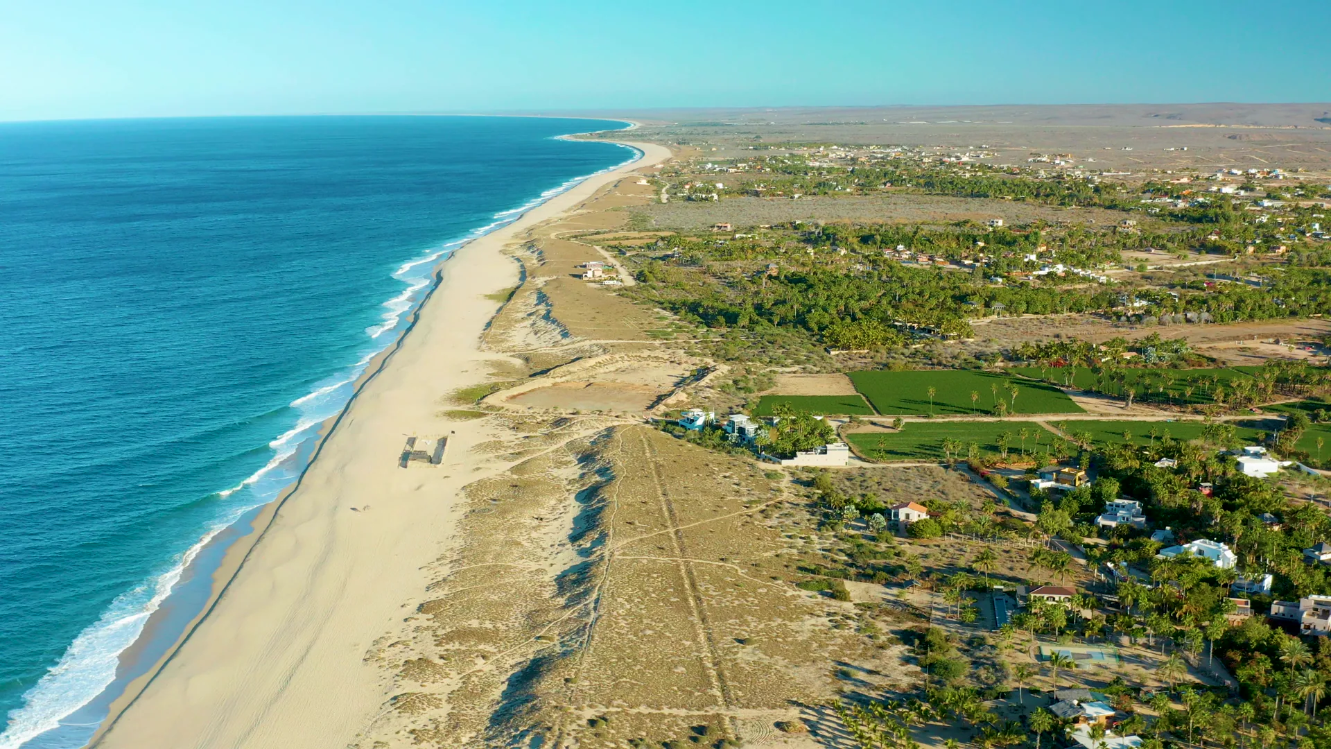
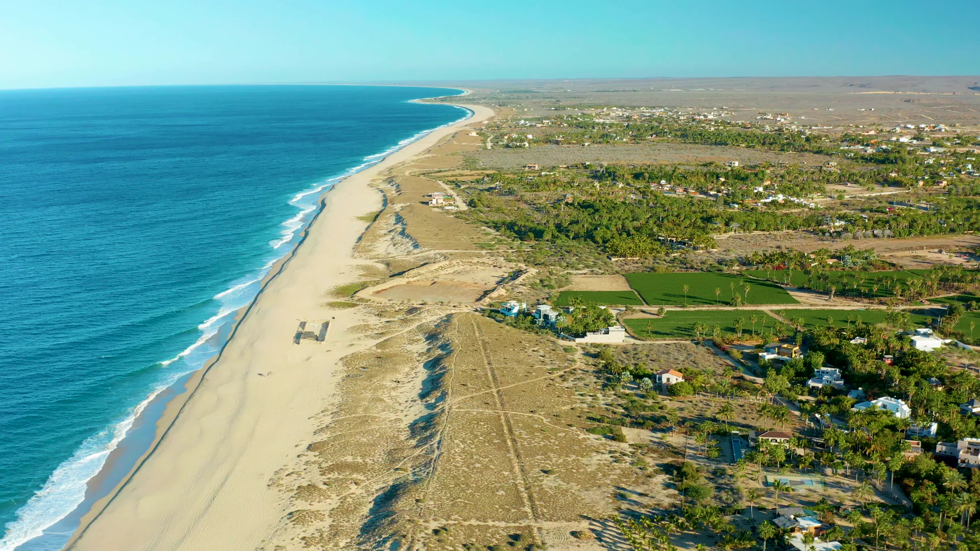
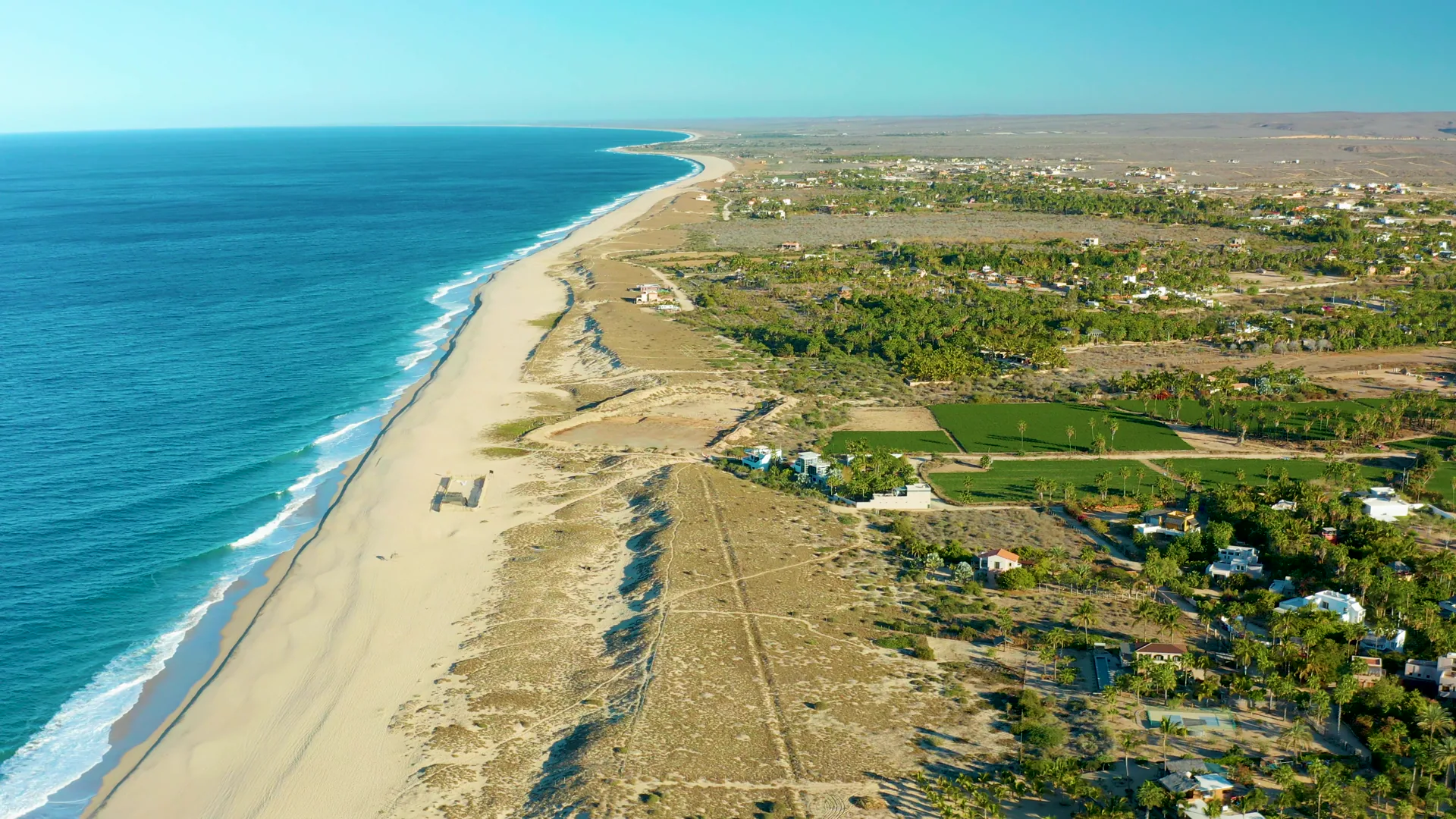
An aerial view shows a sandy beach next to the ocean. A vehicle moves along the beach from left to right. The inland area includes fields and scattered buildings, remaining static throughout the sequence.
Clip Intelligence
- Production use
- Useful for travel edits, documentary geography beats, agency mood reels, brand films, and social cuts needing an aerial view of the Todos Santos coastline with ocean, beach, fields, and scattered houses.
- Edit role
- The short 8-second run works as an opener, transition, or geographic cutaway between beach-level footage and inland Todos Santos material.
- Visual details
- The frames show blue ocean and white surf at left, a wide sandy beach and dunes through the center, green fields and scattered buildings inland, bright daylight, and no visible people.
- Shot mechanics
- A high drone perspective looks diagonally down the coast, with ocean in the left foreground, beach and dunes in the midground, inland fields and houses to the right, and a flat horizon beyond.
Shot slate
- Resolution
- 3840 × 2160
- Frame rate
- 29.97 fps
- Duration
- 6s
- Codec
- H.265 (HEVC) MP4
- File size
- 76 MB
- Location
- Todos Santos, Baja California Sur, Mexico
- Year filmed
- 2021
- Published
- Mar 2021
Still Frames From This Clip
3 frames exported from the 4K master of this clip, in timeline order. The licensed download is the full-motion master, not these stills.
License this clip royalty-free for $79 (Standard: all media, worldwide, perpetual, up to 1M views) or $199 (Extended: unlimited distribution, broadcast TV, theatrical). Instant 4K download with a license PDF, direct from filmmaker Phil Maher.