Low-resolution preview (256x144) for evaluation. The licensed download is the clean 4K UHD master at the stated resolution.
Download the free low-res preview to test in your editAgricultural Fields and Tree-Lined Path From Above (Todos Santos, 2021)
About this clip
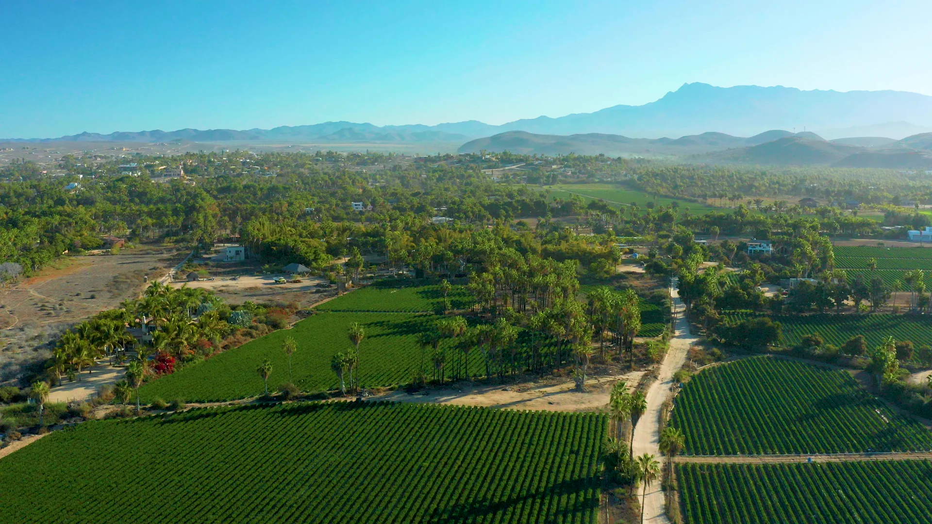
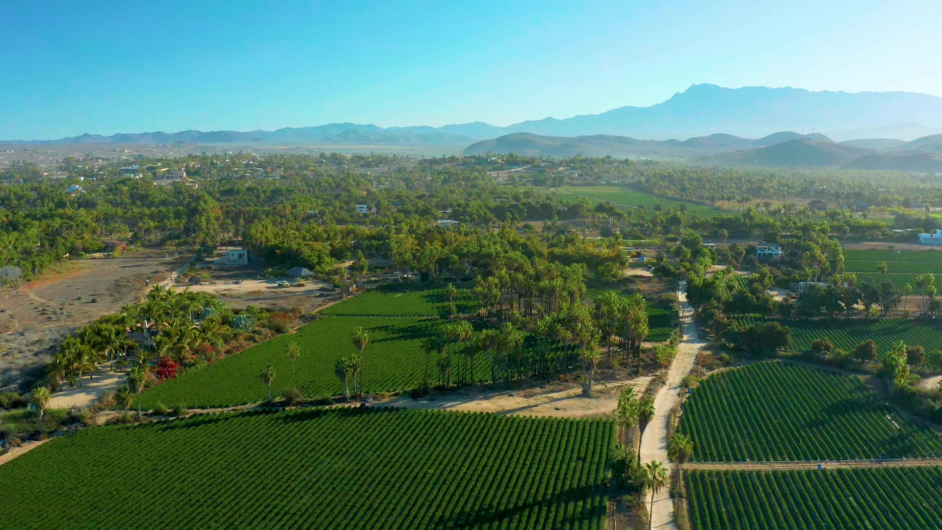
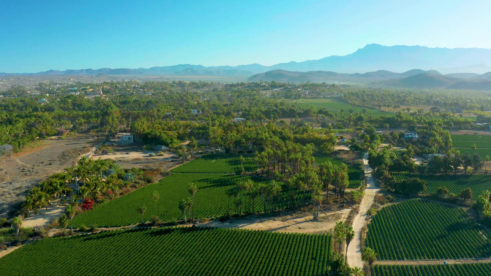
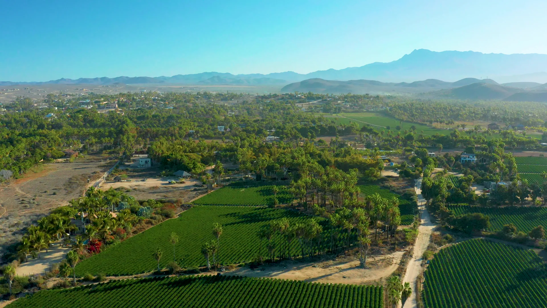
The video shows an aerial view of agricultural fields with rows of crops, a dirt path, and trees. The camera moves slowly, revealing more of the farmland and distant mountains. The scene features clear blue skies and green fields, with no visible human activity.
Clip Intelligence
- Production use
- Useful for documentary, travel edit, agency mood reel, brand film, or social cut needing an aerial view of working farmland in Todos Santos, Baja California Sur.
- Edit role
- Works as a short opener, geographic transition, or rural texture beat before moving into closer field, town, or coastline coverage from the same Todos Santos sequence.
- Visual details
- Green crop rows fill the lower frame, a pale dirt path runs through tree cover, scattered buildings sit among palms, and hazy mountains rise under clear blue sky with no visible people.
- Shot mechanics
- The composition reads as drone aerial coverage with fields in the foreground, tree-lined roads and homes in the midground, and a wide mountain horizon held across the background.
Shot slate
- Resolution
- 3840 × 2160
- Frame rate
- 29.97 fps
- Duration
- 6s
- Codec
- H.265 (HEVC) MP4
- File size
- 76 MB
- Location
- Todos Santos, Baja California Sur, Mexico
- Year filmed
- 2021
- Published
- Mar 2021
Still Frames From This Clip
4 frames exported from the 4K master of this clip, in timeline order. The licensed download is the full-motion master, not these stills.
License this clip royalty-free for $79 (Standard: all media, worldwide, perpetual, up to 1M views) or $199 (Extended: unlimited distribution, broadcast TV, theatrical). Instant 4K download with a license PDF, direct from filmmaker Phil Maher.