Low-resolution preview (256x144) for evaluation. The licensed download is the clean 4K UHD master at the stated resolution.
Download the free low-res preview to test in your editWater Level Dropping Exposes Shoreline (Loreto, 2020)
About this clip
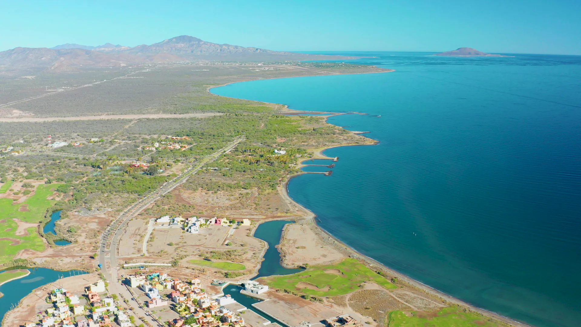
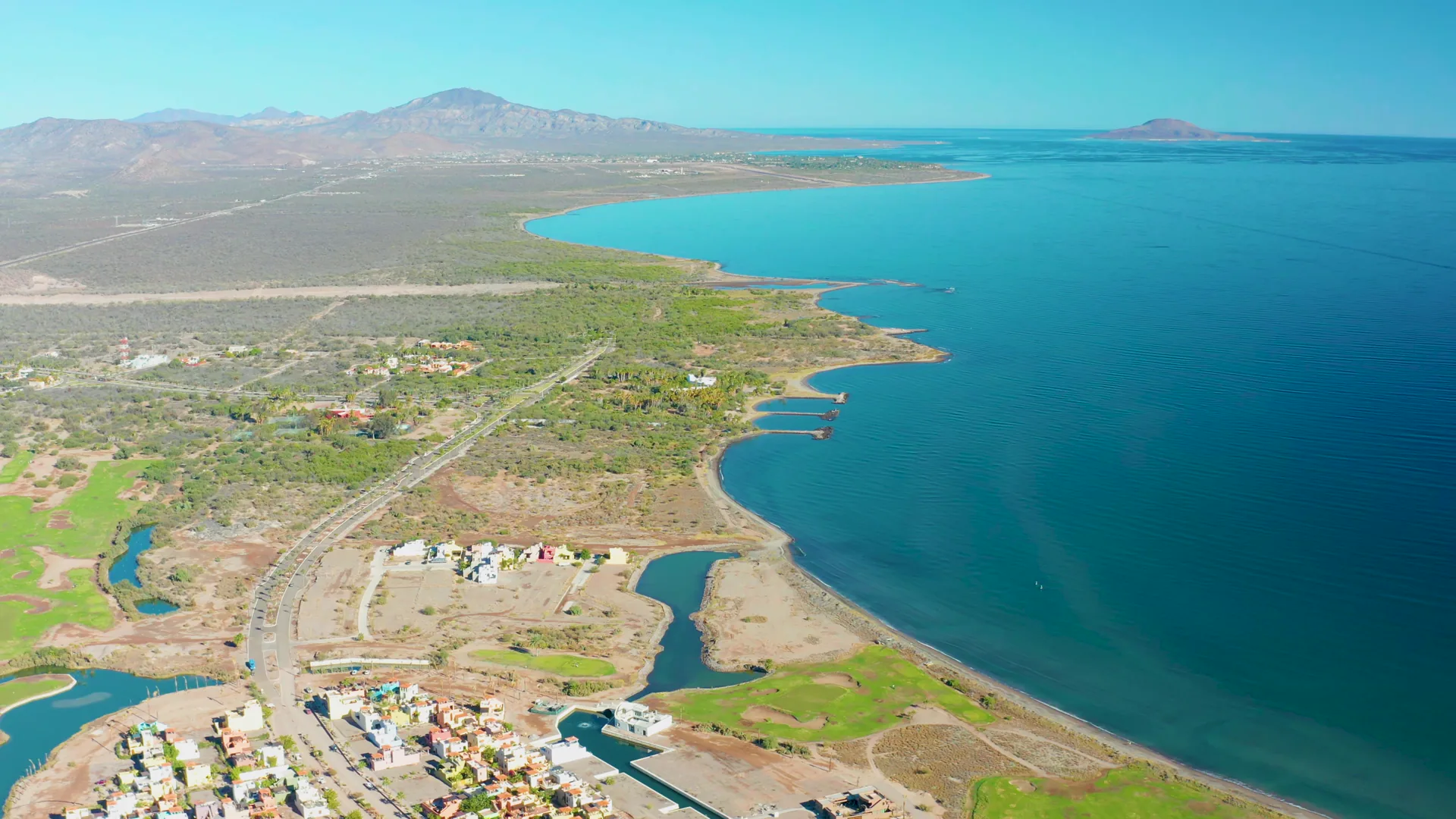
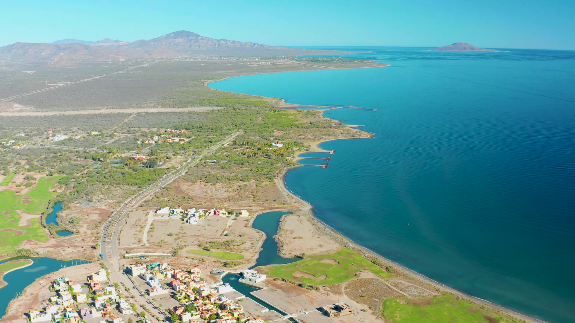
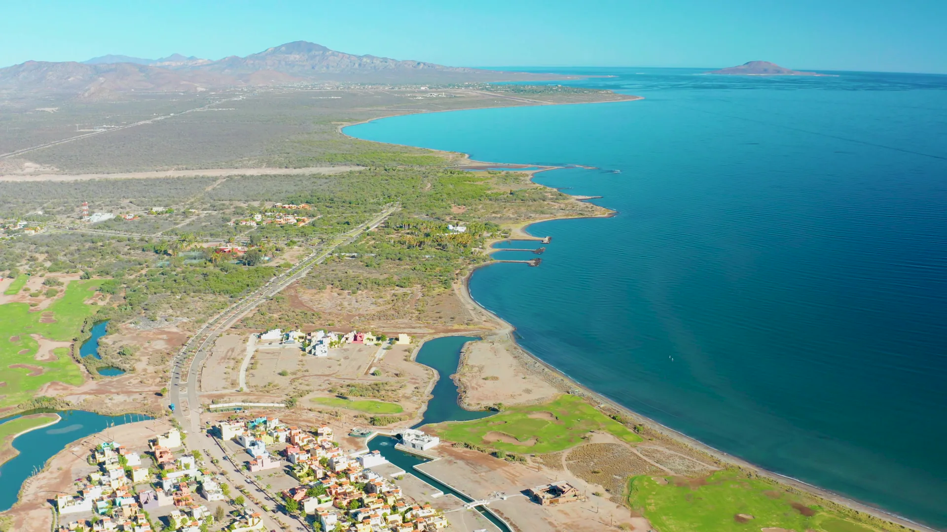
The water level in a coastal bay gradually decreases, exposing more of the shoreline and dry land. A road runs parallel to the receding water, with green fields and a small settlement visible. The background features distant mountains under a clear sky.
Clip Intelligence
- Production use
- Aerial shoreline footage for travel edits, environmental documentary segments, agency mood reels, brand films, and social cuts needing Loreto, Baja California Sur bay context with visible land and road patterns.
- Edit role
- Use this short clip as a coastal opener, geography cutaway, transition beat, or environmental insert showing the relationship between water, shoreline, road, green fields, settlement, and mountains.
- Visual details
- Bright overhead frames show turquoise bay water, exposed tan shoreline, green fields, a parallel road, a small coastal settlement, distant mountains, clear blue sky, and no visible people.
- Shot mechanics
- The frames support a DJI-style drone aerial composition with shoreline and settlement in the foreground, fields and road in the midground, mountains on the horizon, and a high, wide view over the bay.
Shot slate
- Resolution
- 3840 × 2160
- Frame rate
- 29.97 fps
- Duration
- 6s
- Codec
- H.265 (HEVC) MP4
- File size
- 75 MB
- Location
- Loreto, Baja California Sur, Mexico
- Year filmed
- 2020
- Published
- Jan 2021
Still Frames From This Clip
4 frames exported from the 4K master of this clip, in timeline order. The licensed download is the full-motion master, not these stills.
License this clip royalty-free for $79 (Standard: all media, worldwide, perpetual, up to 1M views) or $199 (Extended: unlimited distribution, broadcast TV, theatrical). Instant 4K download with a license PDF, direct from filmmaker Phil Maher.