Low-resolution preview (256x144) for evaluation. The licensed download is the clean 4K UHD master at the stated resolution.
Download the free low-res preview to test in your editRising Floodwaters on River and Road (San Jose del Cabo, 2021)
No people visible. No identifiable people are visible in this clip.
Commercial clearance still depends on the final use and any property shown.
About this clip
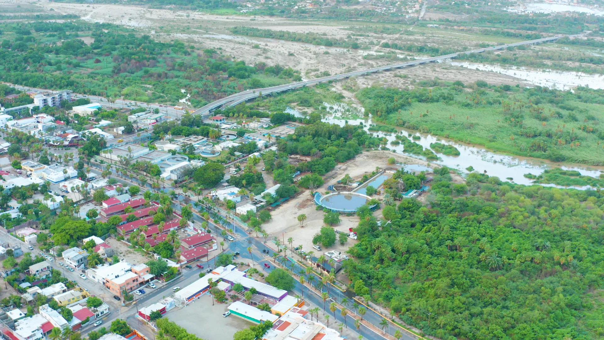
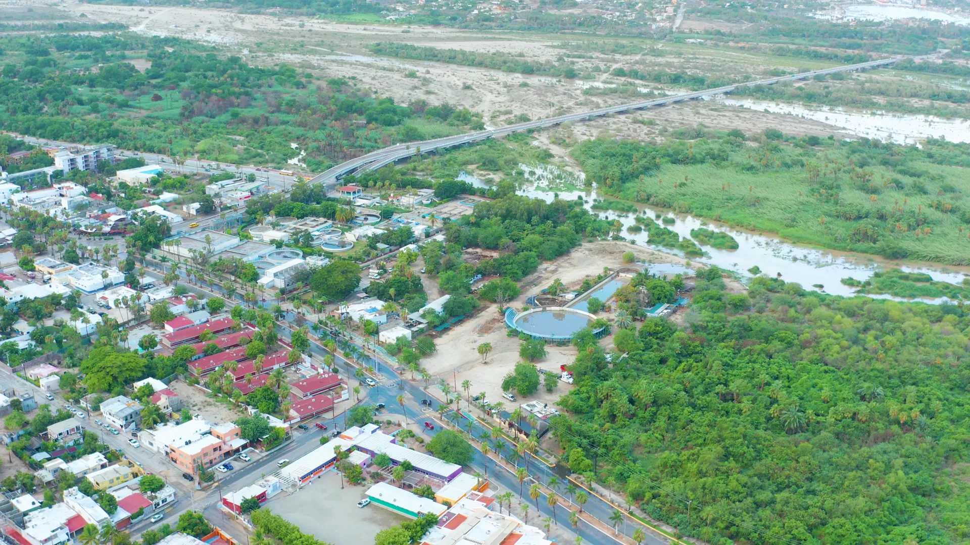
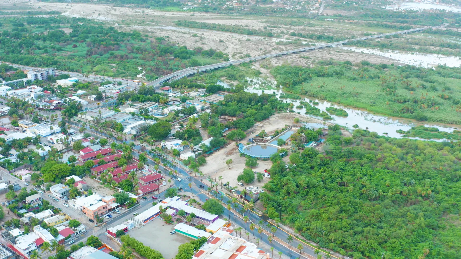
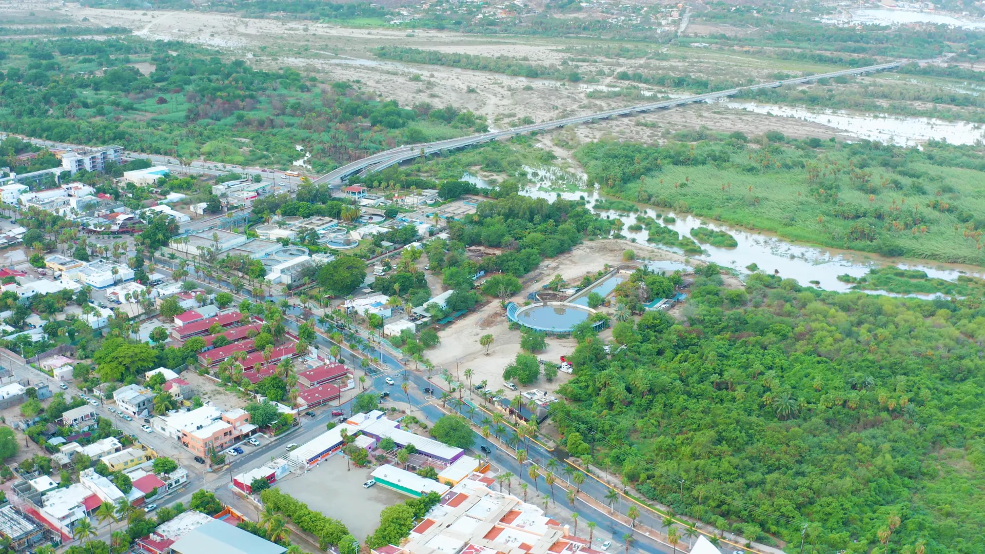
The video shows changing water levels in a river and on an adjacent road. Floodwaters rise, submerging parts of the road and increasing the river's flow. The surrounding area includes buildings, trees, and greenery.
Clip Intelligence
- Production use
- Useful for documentary, news, climate, municipal planning, travel edit, or agency social cut needing an aerial view of floodwater near roads, buildings, and greenery in San Jose Del Cabo, Baja California Sur.
- Edit role
- The short seven second clip works as a location cutaway, transition, or insert that shows the relationship between a swollen river channel, roadside water, and the surrounding town.
- Visual details
- High aerial frames show a green river corridor, pale floodwater, paved roads, low buildings, red and white rooftops, dense trees, distant dry riverbed, soft daylight, and no visible people.
- Shot mechanics
- The frames support a DJI drone aerial perspective with a broad oblique composition, placing roads and buildings in the lower frame, the green corridor through the middle, and the wider riverbed toward the horizon.
Shot slate
- Resolution
- 3840 × 2160
- Frame rate
- 29.97 fps
- Duration
- 7s
- Codec
- H.264 MP4
- File size
- 84 MB
- Location
- San Jose Del Cabo, Baja California Sur, Mexico
- Year filmed
- 2021
- Published
- Aug 2021
Still Frames From This Clip
4 frames exported from the 4K master of this clip, in timeline order. The licensed download is the full-motion master, not these stills.
License this clip royalty-free for $79 (Standard: all media, worldwide, perpetual, up to 1M views) or $199 (Extended: unlimited distribution, broadcast TV, theatrical). Instant 4K download with a license PDF, direct from filmmaker Phil Maher.