Low-resolution preview (256x144) for evaluation. The licensed download is the clean 4K UHD master at the stated resolution.
Download the free low-res preview to test in your editAerial Flight Over Sandy Terrain with Sparse Vegetation (San Carlos, 2022)
About this clip
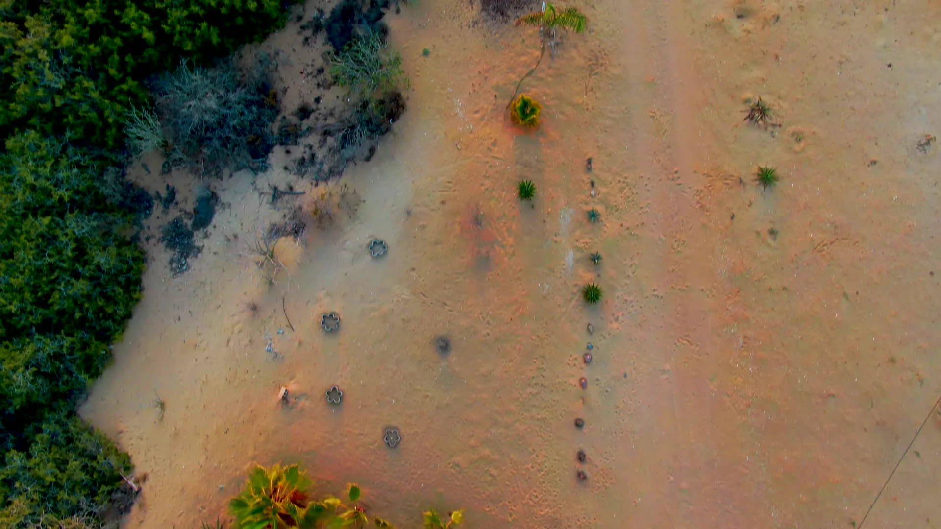
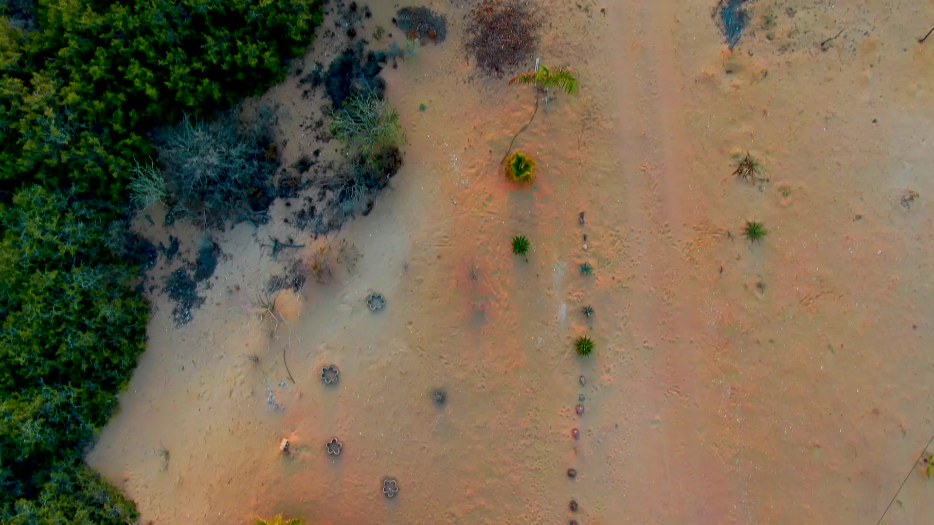
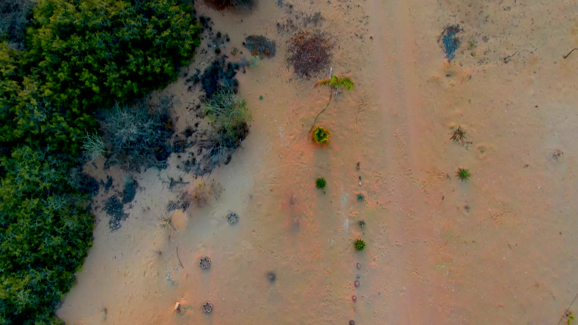
The camera moves forward over a dry, sandy landscape with a dirt path. Sparse vegetation, including small bushes and scattered plants, is visible across the terrain. The left side shows the edge of a denser green area, likely a forest, as the aerial view progresses.
Clip Intelligence
- Production use
- Aerial desert terrain from San Carlos, Baja California Sur fits travel edits, documentary geography segments, agency mood reels, brand films, and social cuts needing dry coastal-region landscape texture.
- Edit role
- Use this 8-second overhead drone pass as a transition, terrain insert, or quiet environmental beat between beach, ocean, and settlement material in a San Carlos sequence.
- Visual details
- The frames show pale sandy ground, a narrow dirt path, scattered scrub, small bushes, a few palm-like plants, and denser green vegetation along the left edge with no visible people.
- Shot mechanics
- The clip is an overhead DJI-style drone view looking straight down or nearly straight down, with the composition shifting across sand, brush clusters, and a dirt track rather than showing a horizon.
Shot slate
- Resolution
- 3840 × 2160
- Frame rate
- 29.97 fps
- Duration
- 8s
- Codec
- H.265 (HEVC) MP4
- File size
- 99 MB
- Location
- San Carlos, Baja California Sur, Mexico
- Year filmed
- 2022
- Published
- Jun 2026
Still Frames From This Clip
3 frames exported from the 4K master of this clip, in timeline order. The licensed download is the full-motion master, not these stills.
License this clip royalty-free for $79 (Standard: all media, worldwide, perpetual, up to 1M views) or $199 (Extended: unlimited distribution, broadcast TV, theatrical). Instant 4K download with a license PDF, direct from filmmaker Phil Maher.