Low-resolution preview (256x144) for evaluation. The licensed download is the clean 4K UHD master at the stated resolution.
Download the free low-res preview to test in your editAerial Flight Over Mangrove Islands and Estuary (San Carlos, 2022)
About this clip
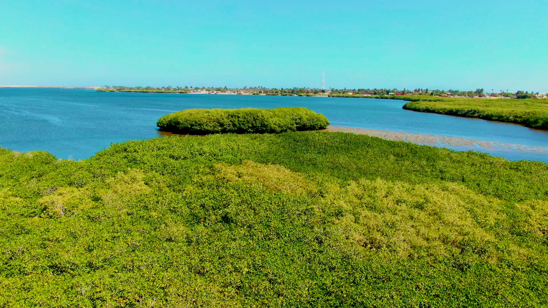
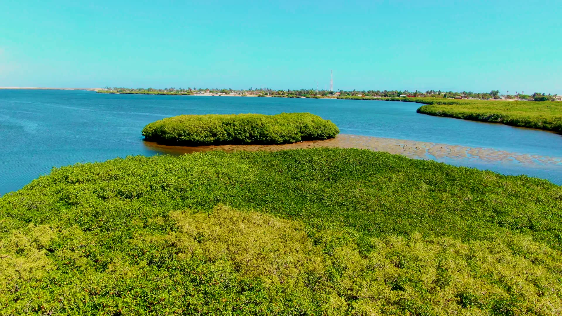
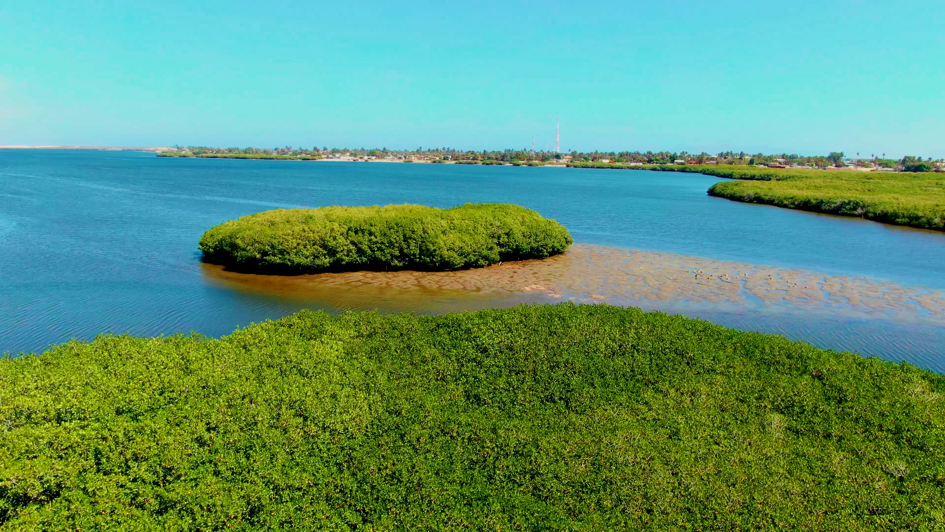
The camera moves forward over a coastal estuary, revealing small mangrove-covered islands and shifting water levels. The foreground vegetation recedes as the view focuses on the central island and distant shoreline. Clear blue skies and calm waters dominate the scene, with buildings and a tower visible on the horizon.
Clip Intelligence
- Production use
- Aerial footage for a travel edit, coastal documentary, agency mood reel, brand film, or social cut needing mangrove islands and an estuary in San Carlos, Baja California Sur.
- Edit role
- Use this 8-second drone flight as a quiet opener, location transition, or nature cutaway before moving into beach, shoreline, or marine-life coverage from the same San Carlos sequence.
- Visual details
- Frames show green mangrove vegetation, a rounded island, blue estuary water, exposed tan mudflats, clear sky, a distant shoreline with low buildings and a tower, and no visible people.
- Shot mechanics
- A drone-height composition looks forward across foreground mangroves toward a central island, open water, distant shore, and level horizon, with the clip facts describing forward aerial movement.
Shot slate
- Resolution
- 3840 × 2160
- Frame rate
- 29.97 fps
- Duration
- 8s
- Codec
- H.265 (HEVC) MP4
- File size
- 100 MB
- Location
- San Carlos, Baja California Sur, Mexico
- Year filmed
- 2022
- Published
- Jun 2026
Still Frames From This Clip
3 frames exported from the 4K master of this clip, in timeline order. The licensed download is the full-motion master, not these stills.
License this clip royalty-free for $79 (Standard: all media, worldwide, perpetual, up to 1M views) or $199 (Extended: unlimited distribution, broadcast TV, theatrical). Instant 4K download with a license PDF, direct from filmmaker Phil Maher.