Low-resolution preview (256x144) for evaluation. The licensed download is the clean 4K UHD master at the stated resolution.
Download the free low-res preview to test in your editReceding River Water Exposes Dry Shoreline (Mulege, 2022)
About this clip
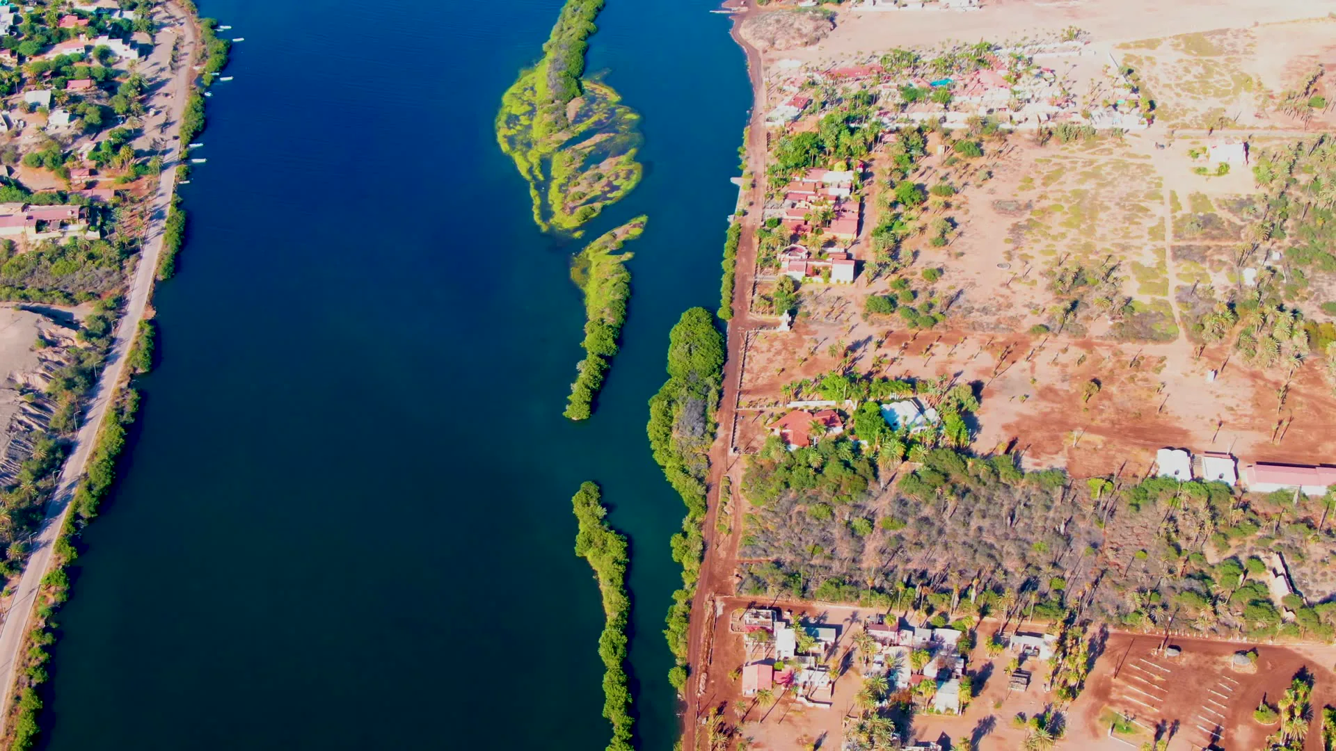
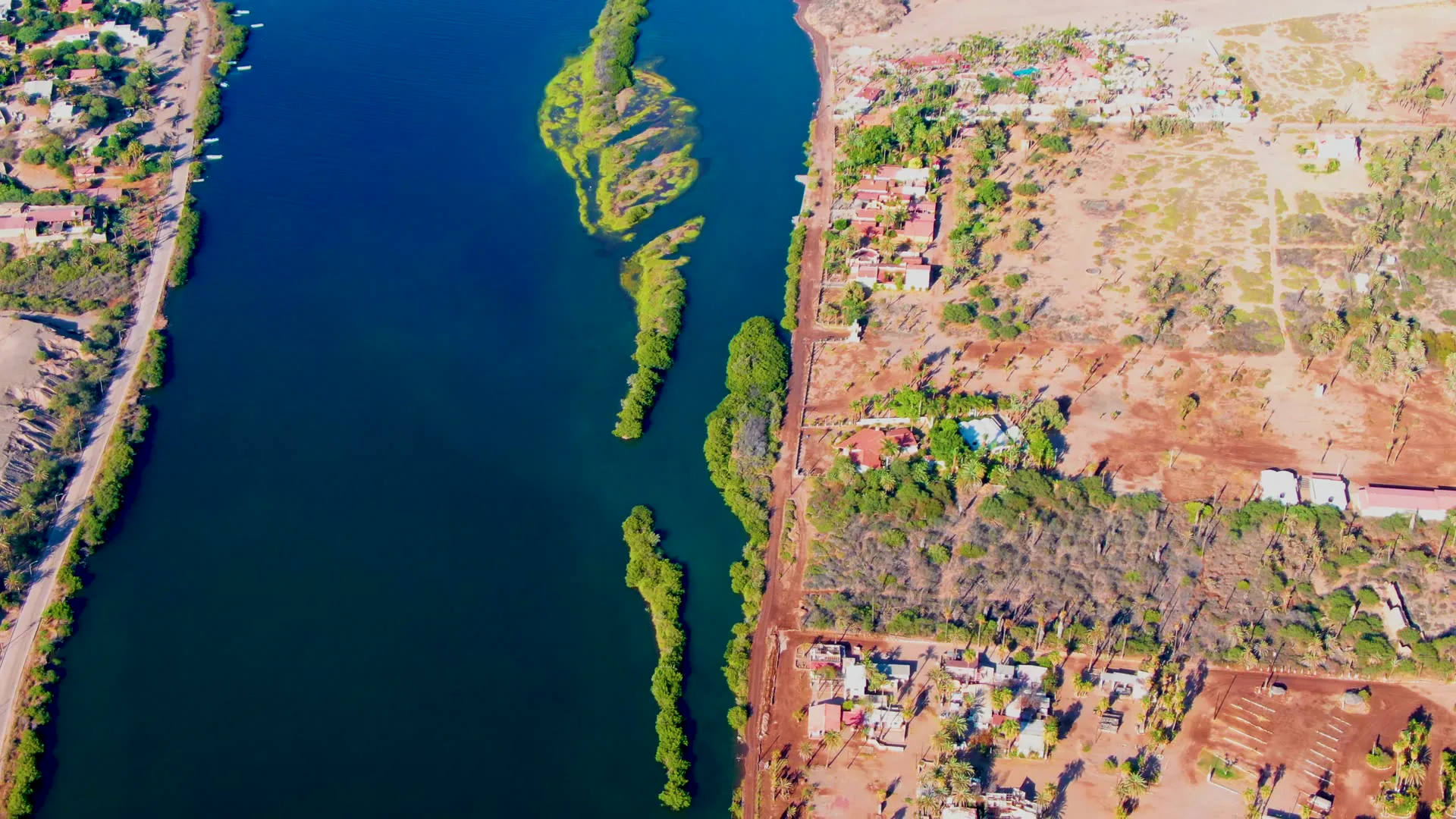
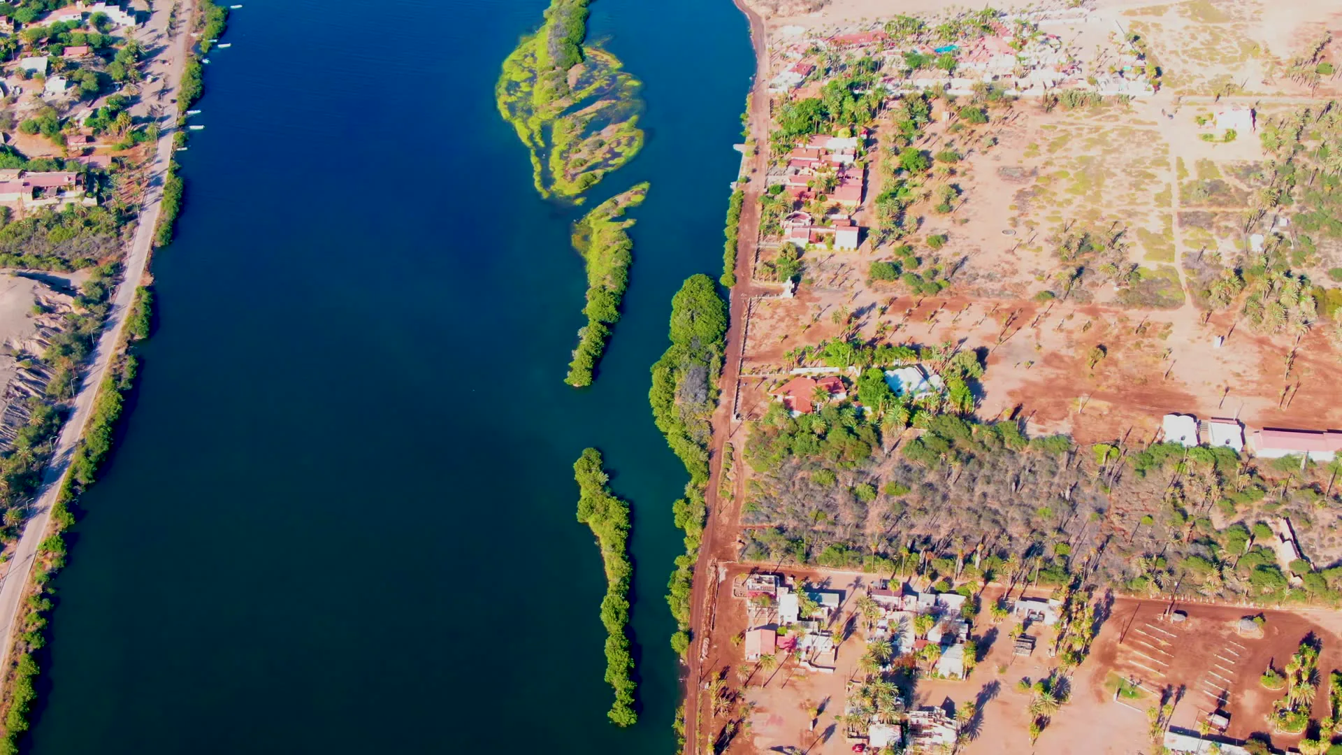
The river's water level gradually decreases across the sequence. As the water recedes, more of the dry, brown shoreline and land on the right side become visible. The green, tree-covered island remains constant while the surrounding waterline shifts.
Clip Intelligence
- Production use
- Useful for documentary, travel edit, agency mood reel, or climate and water-resource story needing an aerial view of receding river water beside dry land in Mulege, Baja California Sur.
- Edit role
- The 6-second clip works as a brief cutaway or transition beat between wider location context and closer details of shoreline, water level, vegetation, roads, or settlement edges.
- Visual details
- Deep blue river water fills the left side while a dry brown shoreline, dirt roads, scattered buildings, scrub vegetation, and narrow green tree-covered islands run through the frame, with no visible people.
- Shot mechanics
- High overhead DJI-style drone composition with the river on one side, exposed land on the other, and repeated frames showing the same aerial geometry as the waterline shifts across the sequence.
Shot slate
- Resolution
- 3840 × 2160
- Frame rate
- 29.97 fps
- Duration
- 6s
- Codec
- H.265 (HEVC) MP4
- File size
- 76 MB
- Location
- Mulege, Baja California Sur, Mexico
- Year filmed
- 2022
- Published
- Jun 2026
Still Frames From This Clip
3 frames exported from the 4K master of this clip, in timeline order. The licensed download is the full-motion master, not these stills.
License this clip royalty-free for $79 (Standard: all media, worldwide, perpetual, up to 1M views) or $199 (Extended: unlimited distribution, broadcast TV, theatrical). Instant 4K download with a license PDF, direct from filmmaker Phil Maher.