Low-resolution preview (256x144) for evaluation. The licensed download is the clean 4K UHD master at the stated resolution.
Download the free low-res preview to test in your editWinding River and Shifting Ice on Tundra (Puenta Abreojos, 2022)
No people visible. No identifiable people are visible in this clip.
Commercial clearance still depends on the final use and any property shown.
About this clip
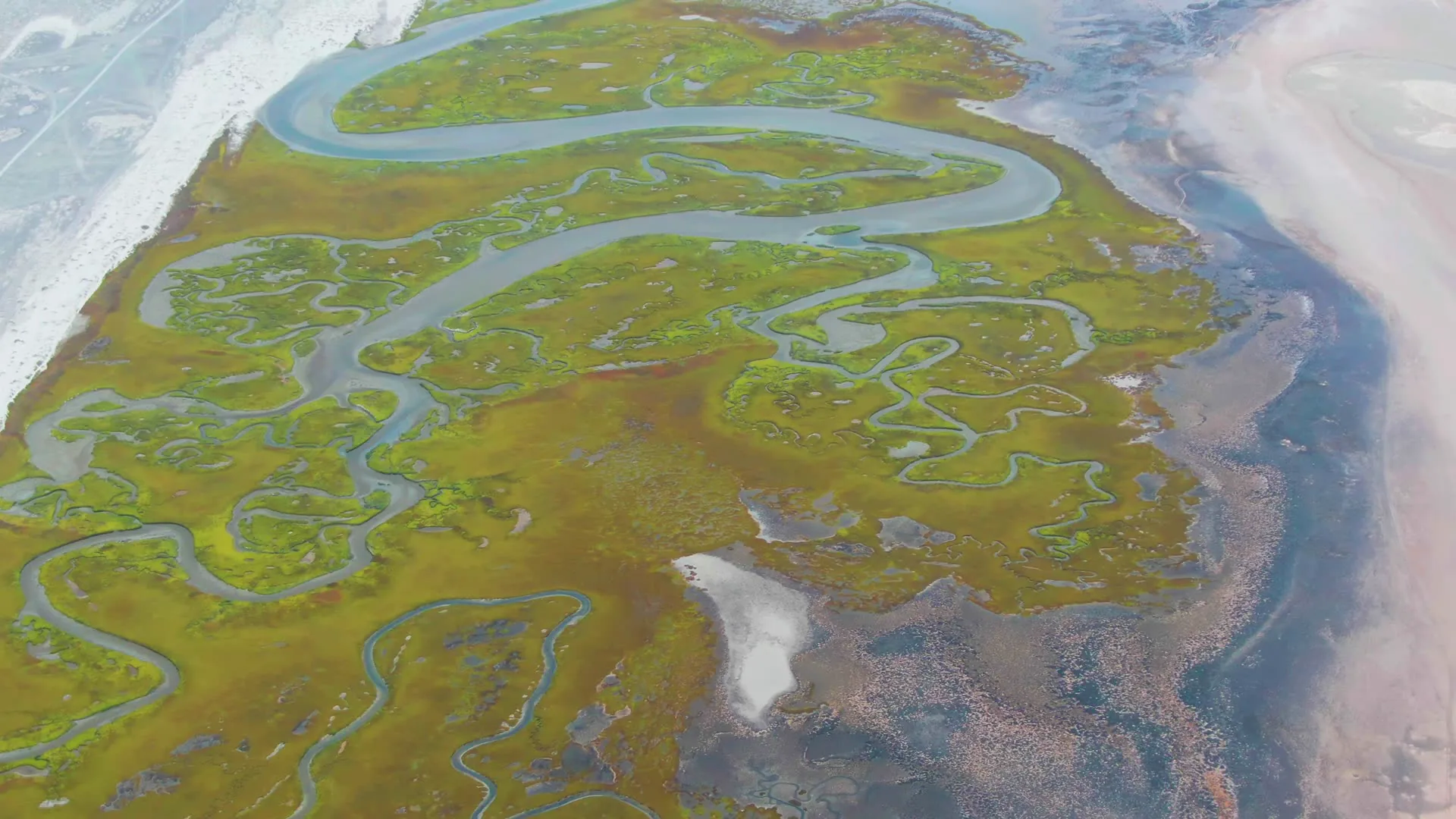
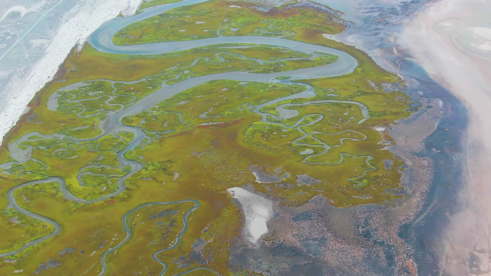
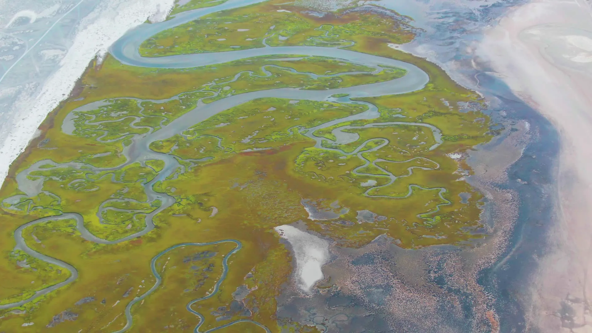
A winding river flows through a tundra landscape. Ice along the river's edge shifts and moves, indicating water flow. The area features green marshy regions and brown dry terrain.
Clip Intelligence
- Production use
- Aerial wetland and tidal-channel footage from Punta Abreojos for documentary, travel edit, agency mood reel, brand film, or social cut needing remote coastal texture without people in frame.
- Edit role
- Use this 8-second overhead clip as a quiet opener, geographic cutaway, transition, or natural-pattern insert between beach, boat, seabird, or shoreline scenes from the same Mexico collection.
- Visual details
- Overhead frames show green marshland cut by winding blue waterways, pale sand or salt flats at the edges, darker brown wet ground, soft daylight, and no visible people.
- Shot mechanics
- The composition reads as DJI drone aerial coverage from high above, with the wetland filling the frame and pale shoreline flats along the edges, while the contact sheet shows only subtle framing change across the 8 seconds.
Shot slate
- Resolution
- 3840 × 2160
- Frame rate
- 29.97 fps
- Duration
- 8s
- Codec
- H.265 (HEVC) MP4
- File size
- 106 MB
- Location
- Puenta Abreojos, Baja California Sur, Mexico
- Year filmed
- 2022
- Published
- Jun 2026
Still Frames From This Clip
3 frames exported from the 4K master of this clip, in timeline order. The licensed download is the full-motion master, not these stills.
License this clip royalty-free for $79 (Standard: all media, worldwide, perpetual, up to 1M views) or $199 (Extended: unlimited distribution, broadcast TV, theatrical). Instant 4K download with a license PDF, direct from filmmaker Phil Maher.