Low-resolution preview (256x144) for evaluation. The licensed download is the clean 4K UHD master at the stated resolution.
Download the free low-res preview to test in your editFarmland with Irrigation Ponds and Dirt Road (Guerrero Negro, 2022)
No people visible. No identifiable people are visible in this clip.
Commercial clearance still depends on the final use and any property shown.
About this clip
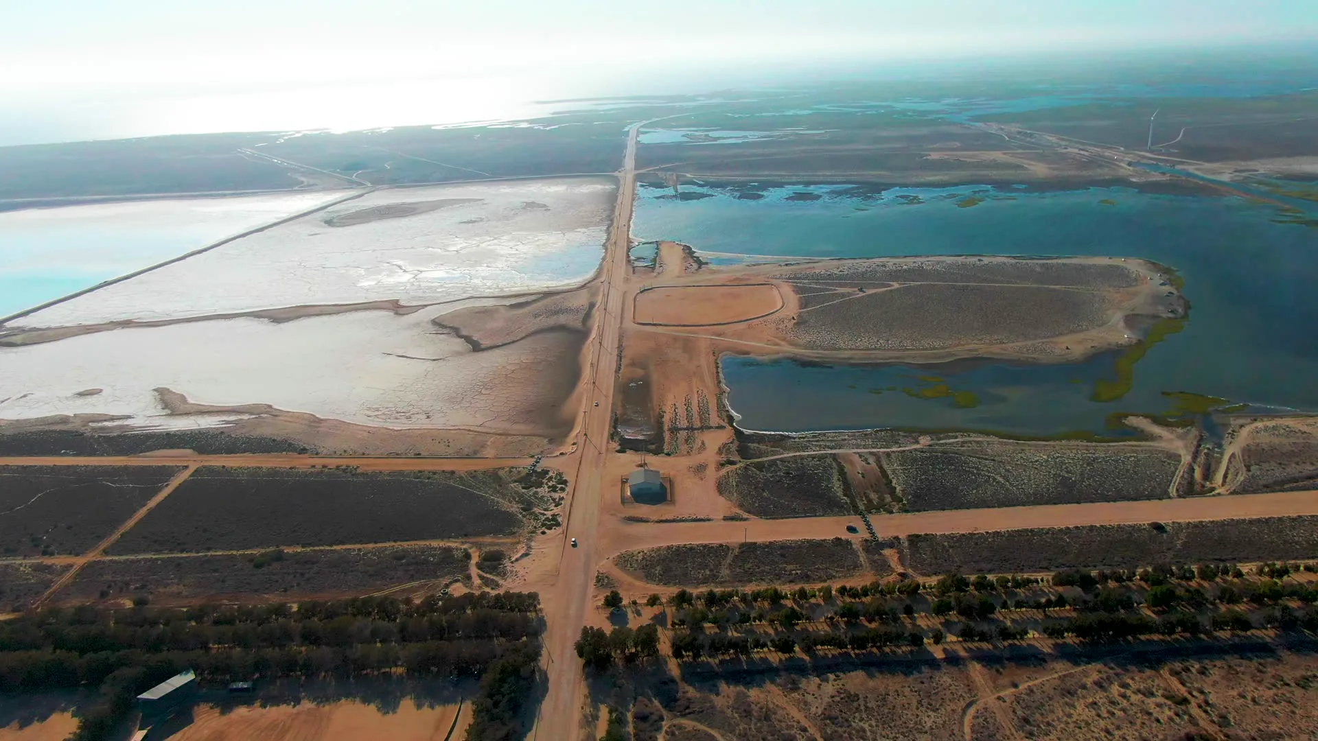
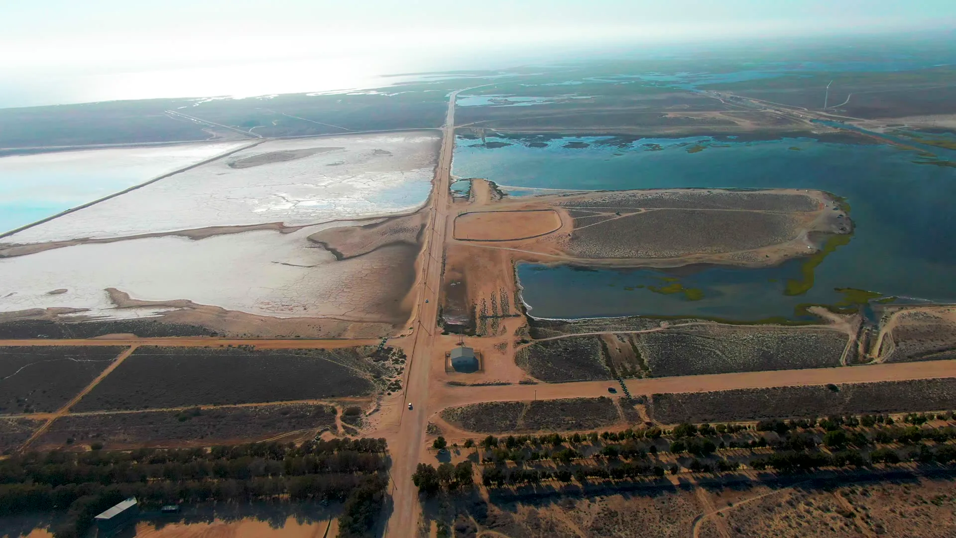
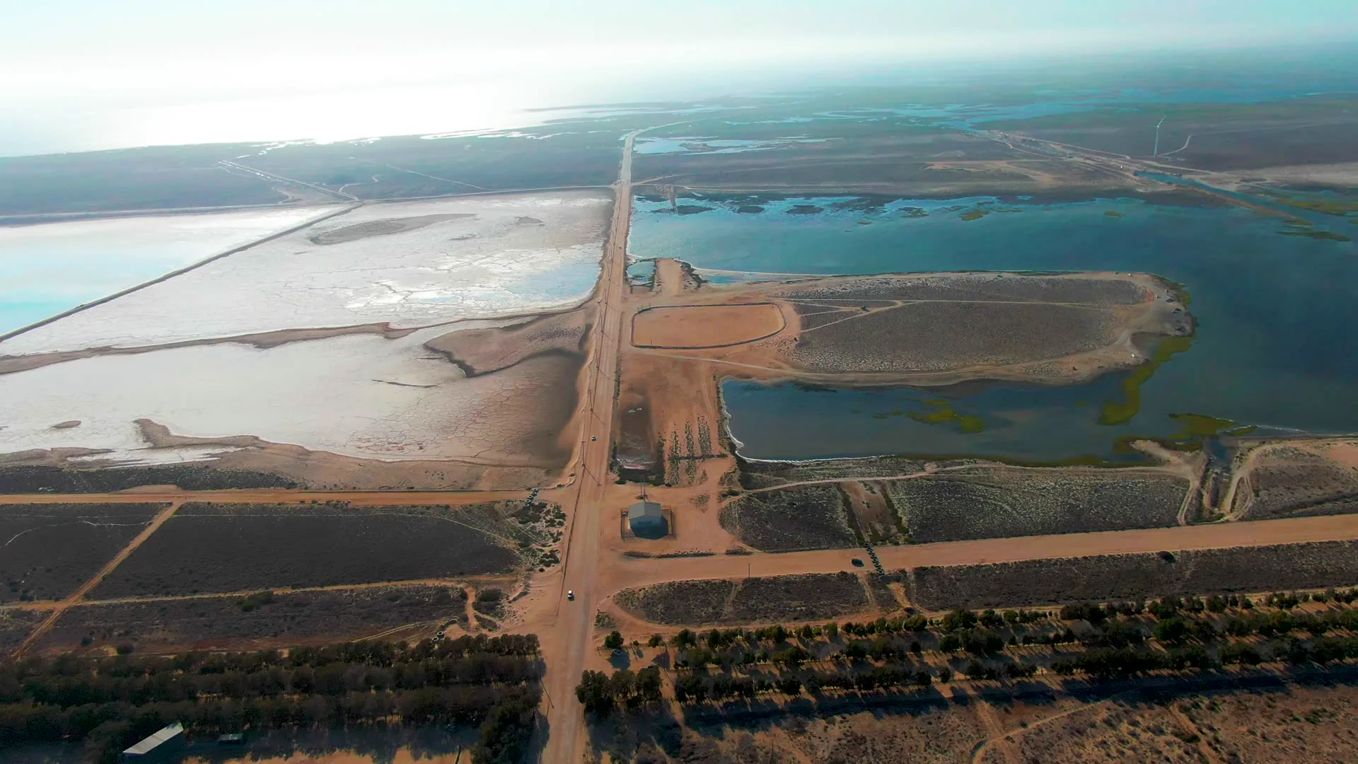
The video shows agricultural fields with multiple water reservoirs. A dirt road runs through the center, with a blue structure visible near the road. The landscape includes dry, earthy fields and patches of vegetation along the road.
Clip Intelligence
- Production use
- Useful for documentary, agency mood reel, travel edit, or brand film coverage of agriculture, irrigation infrastructure, and rural land use around Guerrero Negro, Baja California Sur.
- Edit role
- This 8-second aerial works as a cutaway, transition, or brief opener between ground-level scenes of water, salt flats, wildlife, and rural work in the same Guerrero Negro sequence.
- Visual details
- The frames show a high aerial view of dirt roads crossing dry fields, blue-green irrigation ponds, pale salt or mud flats, a small blue structure near the road, low vegetation, bright haze, and no visible people.
- Shot mechanics
- The composition reads as DJI drone aerial footage, with the road forming a vertical centerline, ponds and flats filling the midground, fields in the foreground, and a flat horizon near the top of frame.
Shot slate
- Resolution
- 3840 × 2160
- Frame rate
- 29.97 fps
- Duration
- 8s
- Codec
- H.265 (HEVC) MP4
- File size
- 100 MB
- Location
- Guerrero Negro, Baja California Sur, Mexico
- Year filmed
- 2022
- Published
- Jun 2026
Still Frames From This Clip
3 frames exported from the 4K master of this clip, in timeline order. The licensed download is the full-motion master, not these stills.
License this clip royalty-free for $79 (Standard: all media, worldwide, perpetual, up to 1M views) or $199 (Extended: unlimited distribution, broadcast TV, theatrical). Instant 4K download with a license PDF, direct from filmmaker Phil Maher.