Low-resolution preview (256x144) for evaluation. The licensed download is the clean 4K UHD master at the stated resolution.
Download the free low-res preview to test in your editRoad Winding Through Wetland and Tundra (Guerrero Negro, 2022)
About this clip
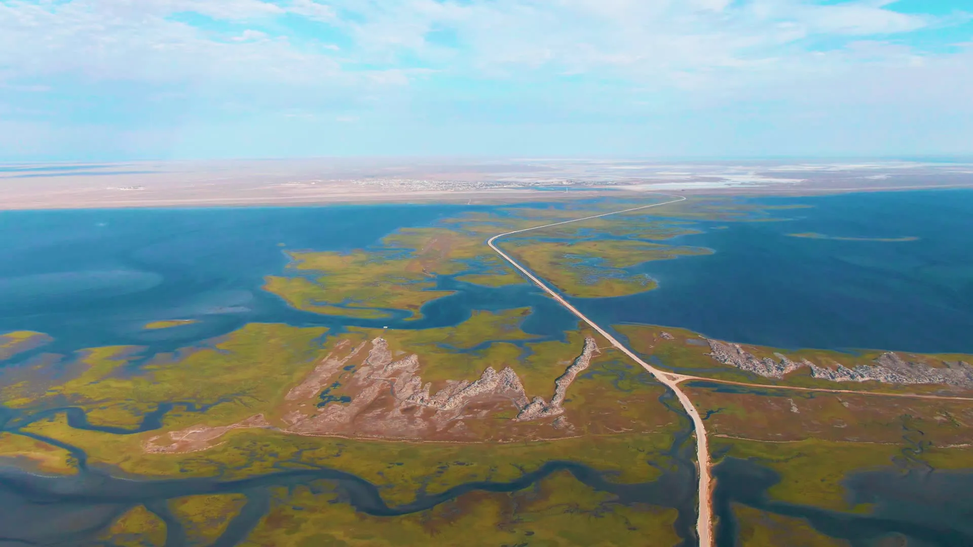
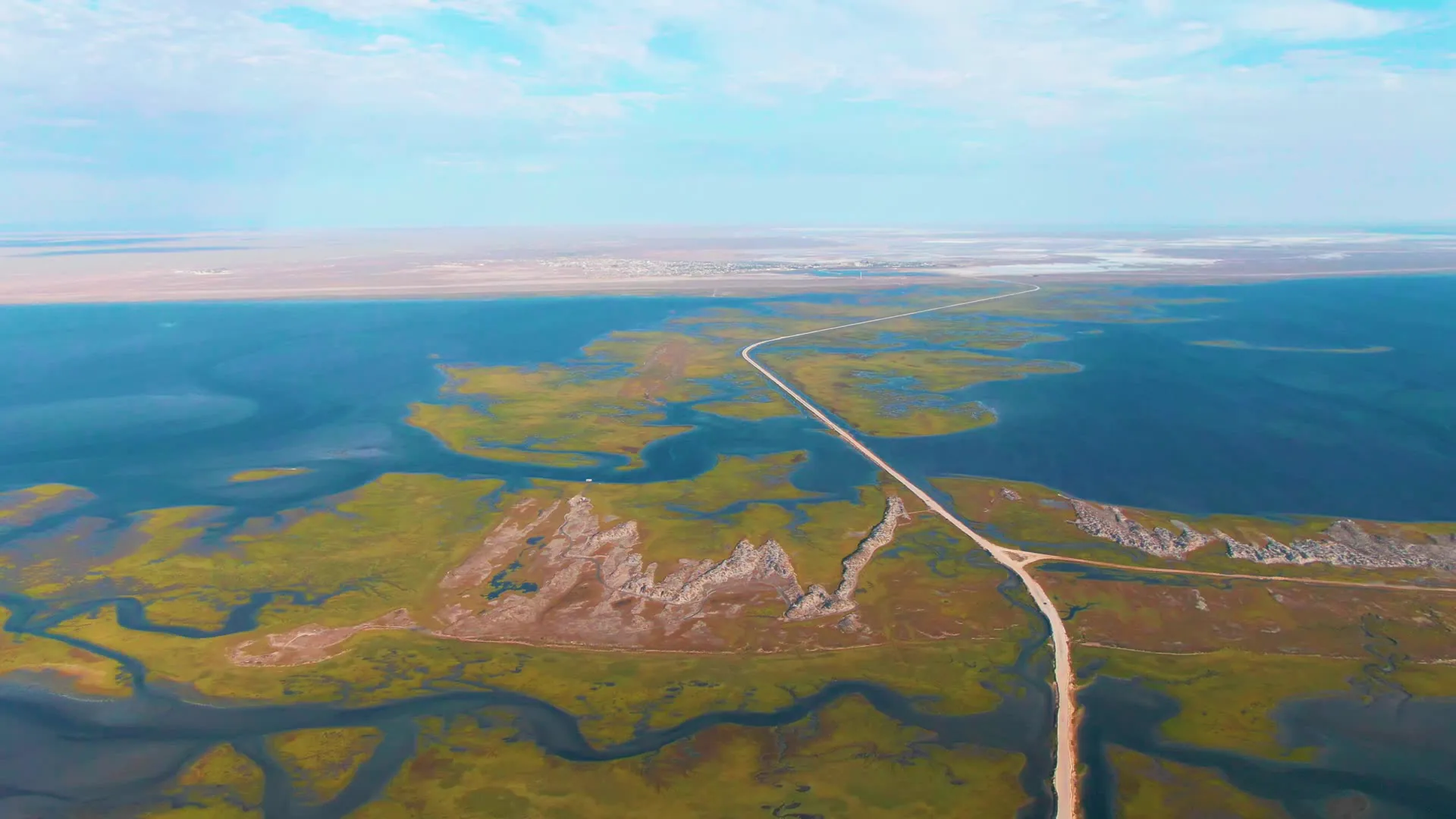
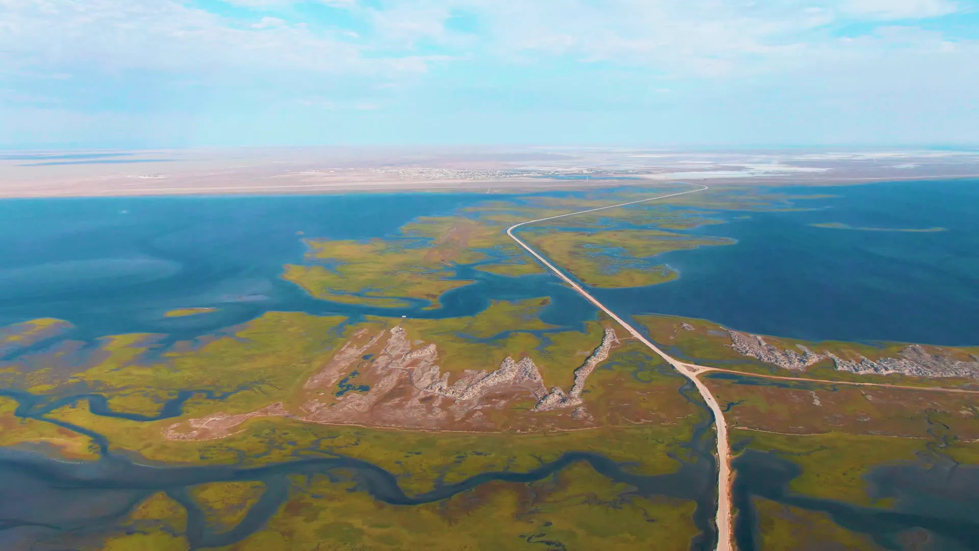
An aerial view tracks a road winding through a wetland and tundra landscape. The camera moves forward, revealing more of the road and surrounding water and grassy areas. The sky is partly cloudy with patches of green and blue water visible in the terrain.
Clip Intelligence
- Production use
- Useful for travel edits, environmental documentaries, agency mood reels, and social cuts needing an aerial view of a road crossing wetlands near Guerrero Negro, Baja California Sur.
- Edit role
- Works as a six-second opener, transition, or geographic cutaway before closer ground-level shots of water, wildlife, salt flats, or coastal terrain from the same collection.
- Visual details
- A pale road cuts through green marsh, blue water, low rocky ridges, and distant flat land under a partly cloudy sky, with no visible people in the frames.
- Shot mechanics
- High aerial drone composition with the road running from the lower frame toward the horizon, water and marsh filling both sides, and a wide, level horizon across the background.
Shot slate
- Resolution
- 3840 × 2160
- Frame rate
- 29.97 fps
- Duration
- 6s
- Codec
- H.265 (HEVC) MP4
- File size
- 76 MB
- Location
- Guerrero Negro, Baja California Sur, Mexico
- Year filmed
- 2022
- Published
- Jun 2026
Still Frames From This Clip
3 frames exported from the 4K master of this clip, in timeline order. The licensed download is the full-motion master, not these stills.
License this clip royalty-free for $79 (Standard: all media, worldwide, perpetual, up to 1M views) or $199 (Extended: unlimited distribution, broadcast TV, theatrical). Instant 4K download with a license PDF, direct from filmmaker Phil Maher.