Low-resolution preview (256x144) for evaluation. The licensed download is the clean 4K UHD master at the stated resolution.
Download the free low-res preview to test in your editAerial Survey of Desert Excavation Site (La Fortuna, 2023)
No people visible. No identifiable people are visible in this clip.
Commercial clearance still depends on the final use and any property shown.
About this clip
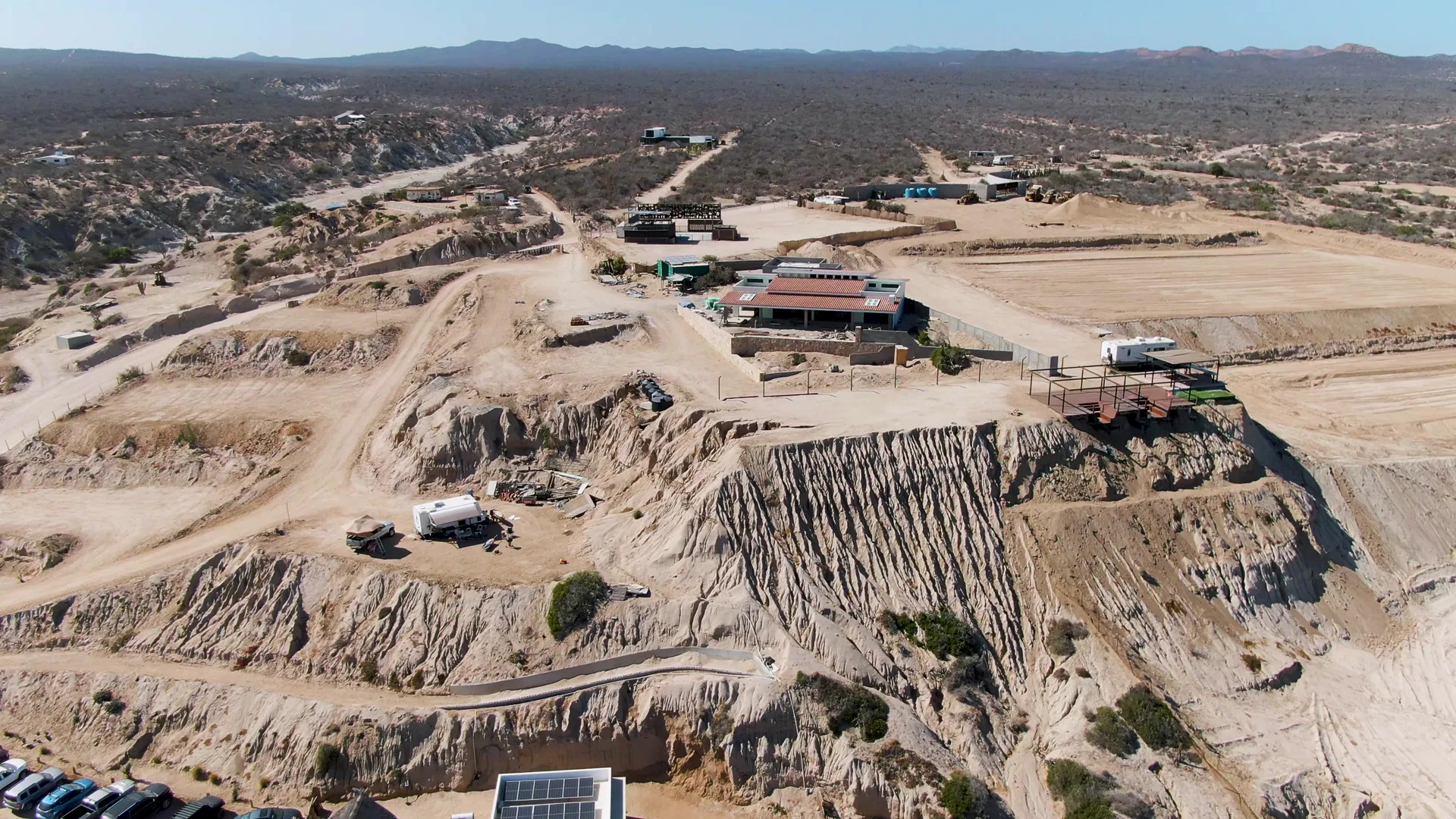
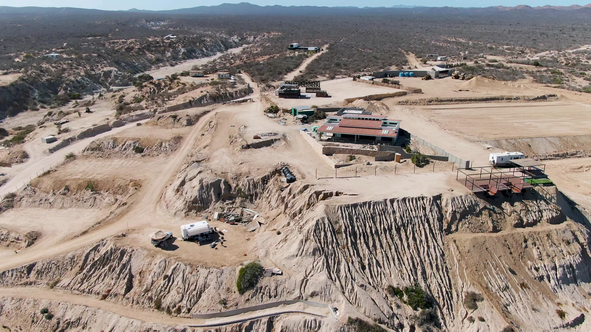
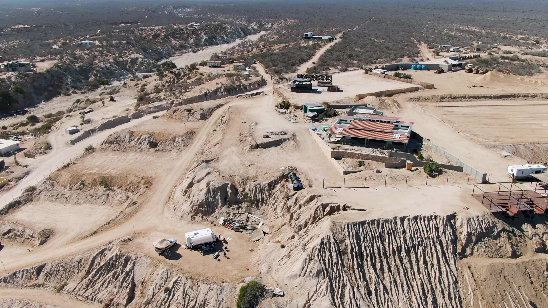
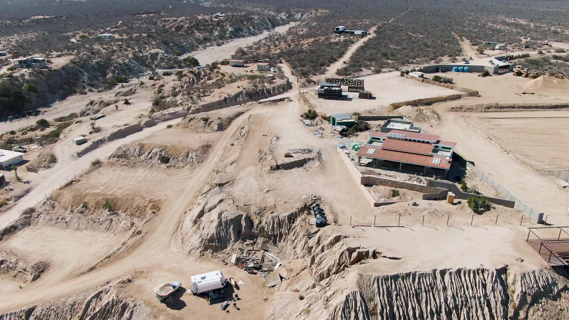
The clip captures an aerial survey of a desert excavation site. The camera moves over sandy terrain, showing buildings, vehicles, and a large excavated area. The site features visible earth layers and construction activity.
Clip Intelligence
- Production use
- Useful for documentary, agency, infrastructure, travel, or development edits that need a 2023 aerial view of a desert excavation site in La Fortuna, Baja California Sur, Mexico.
- Edit role
- The six-second clip works as a brief opener, cutaway, or transition into a sequence about land development, construction activity, quarry terrain, or dry coastal-region landscapes.
- Visual details
- The frames show sandy graded roads, cut earth walls, red-roofed site buildings, parked vehicles, trailers, scattered materials, scrub desert, distant hills, hard daylight, and no visible people.
- Shot mechanics
- Drone aerial composition looks down across the excavated foreground and midground buildings, with graded roads leading toward desert scrub and a low horizon in the background.
Shot slate
- Resolution
- 3840 × 2160
- Frame rate
- 29.97 fps
- Duration
- 6s
- Codec
- H.265 (HEVC) MP4
- File size
- 92 MB
- Location
- La Fortuna, Baja California Sur, Mexico
- Year filmed
- 2023
- Published
- Jun 2026
Still Frames From This Clip
4 frames exported from the 4K master of this clip, in timeline order. The licensed download is the full-motion master, not these stills.
License this clip royalty-free for $79 (Standard: all media, worldwide, perpetual, up to 1M views) or $199 (Extended: unlimited distribution, broadcast TV, theatrical). Instant 4K download with a license PDF, direct from filmmaker Phil Maher.