Low-resolution preview (256x144) for evaluation. The licensed download is the clean 4K UHD master at the stated resolution.
Download the free low-res preview to test in your editAerial View of City and Landscape from a Plane (Palisades, 2023)
About this clip
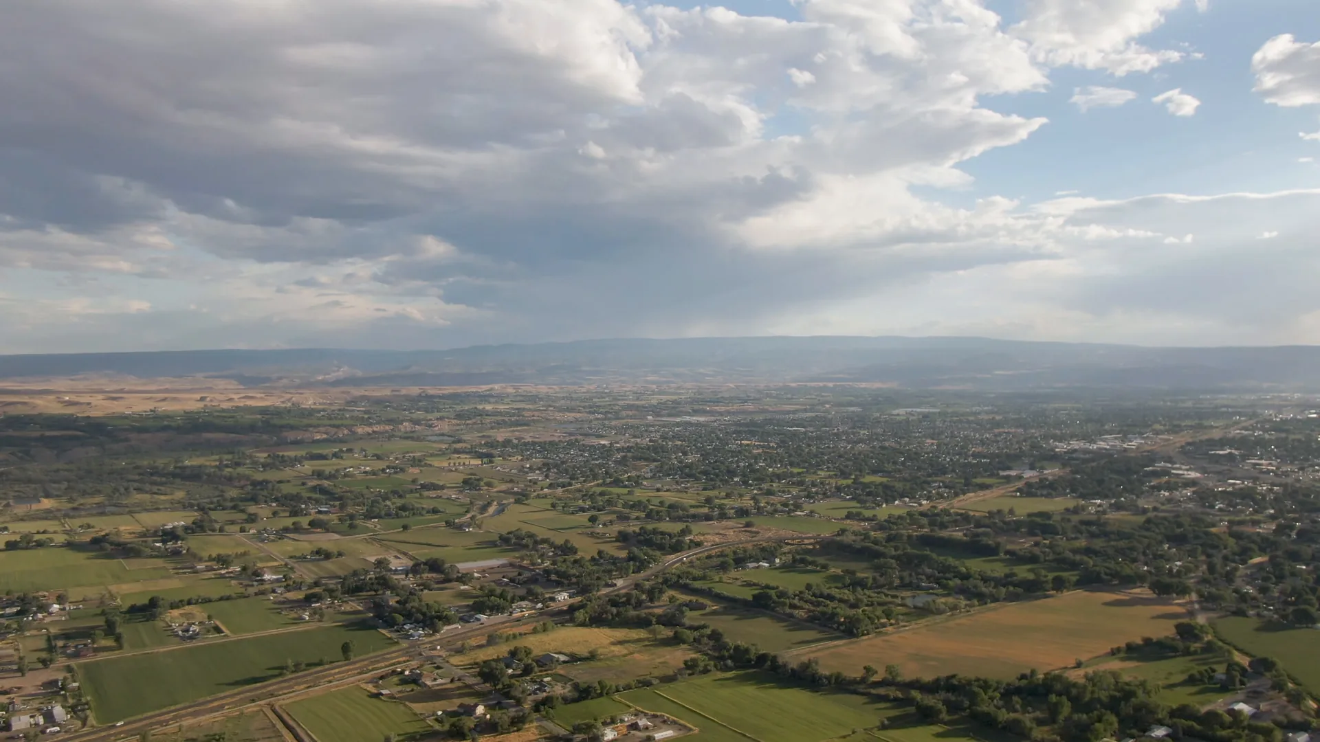
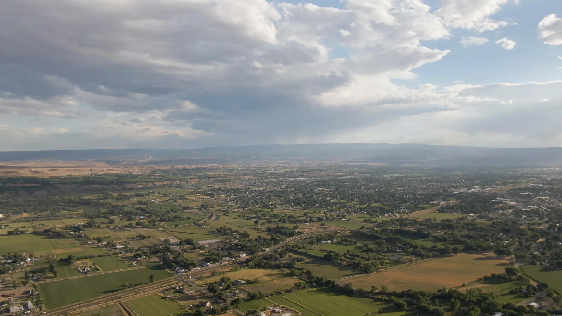
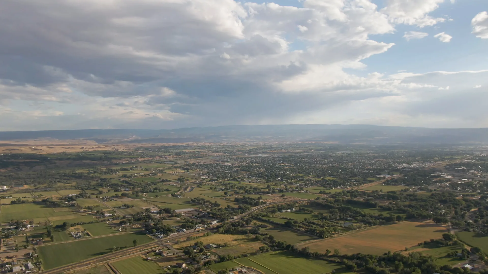
A wide aerial shot from 1,000 feet above Palisades, Colorado, captured on vintage film. The clip reveals a sprawling landscape with roads winding through natural terrain, scattered buildings, and distant city structures under a cloudy sky. Shot from a plane, the footage offers a serene, expansive view of the region’s scenic beauty, with no humans in sight. The aesthetic adds a nostalgic, grainy texture to the panoramic vista, emphasizing the quiet majesty of the Colorado countryside.
Clip Intelligence
- Production use
- Use this 4K aerial of Palisades, Colorado for travel edits, regional documentaries, agency mood reels, brand films, or social cuts that need rural land, roads, town edges, and broad sky in one view.
- Edit role
- The six-second wide aerial works as a brief opener, geography cutaway, transition beat, or quiet closer between closer shots of roads, mountains, village streets, and surrounding landscape from the same collection.
- Visual details
- The frames show green and tan fields, scattered houses and buildings, roads, distant city structures, low hills, and a wide cloudy sky with sun breaks, with no visible people.
- Shot mechanics
- The composition holds a high aerial perspective with fields and roads in the foreground, a developed area in the midground, distant hills on the horizon, and heavy clouds filling the upper frame.
Shot slate
- Resolution
- 3840 × 2160
- Frame rate
- 29.97 fps
- Duration
- 6s
- Codec
- H.265 (HEVC) MP4
- File size
- 73 MB
- Location
- Palisades, Colorado, United States
- Year filmed
- 2023
- Published
- Jun 2026
Still Frames From This Clip
3 frames exported from the 4K master of this clip, in timeline order. The licensed download is the full-motion master, not these stills.
License this clip royalty-free for $79 (Standard: all media, worldwide, perpetual, up to 1M views) or $199 (Extended: unlimited distribution, broadcast TV, theatrical). Instant 4K download with a license PDF, direct from filmmaker Phil Maher.