Category
Aerial Stock Footage
Sweeping aerial and drone footage, coastlines, towns, and landscapes from above.
10,515clips
Licenses from $79 · Instant 4K master download · No subscription
Everything here was shot from a drone Phil Maher was flying himself: the Baja California Sur coastline from Los Cabos up the East Cape, desert arroyos meeting the Sea of Cortez, resort corridors and surf lines, and the peaks of the Colorado Rockies. Establishing shots, slow reveals, top-downs, and coastal flyovers, graded and delivered as 4K H.264 masters. Every aerial licenses direct from the filmmaker, $79 royalty-free standard, $199 extended for broadcast, with the master downloading the moment payment clears.
10,515 clips
No people visible
6s
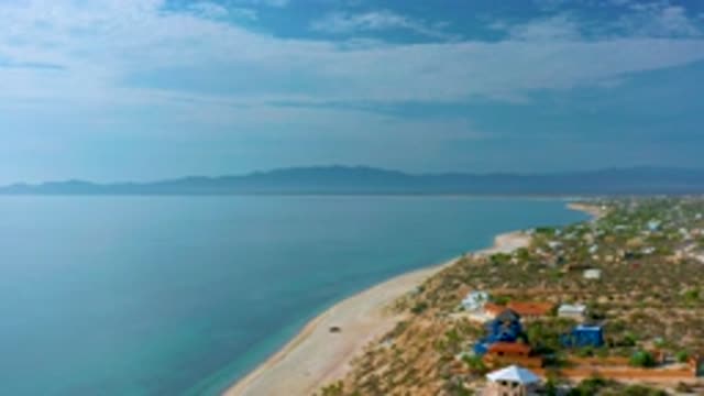
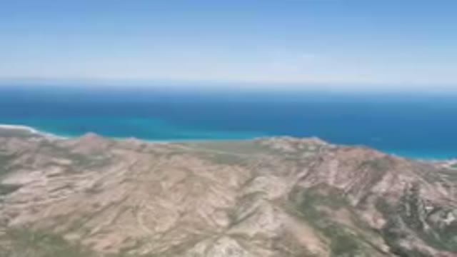
Overhead View Of Coastline
No people visible
6s
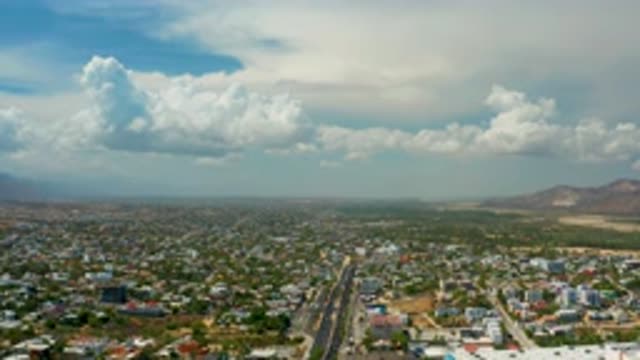
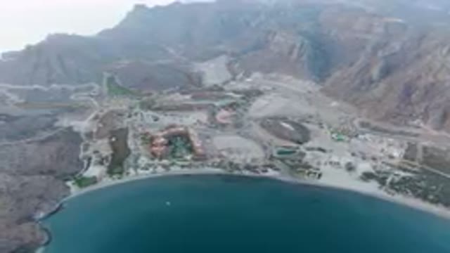
Aerial View Of Houses Roads Clouds And Mountains In

No people visible
6s
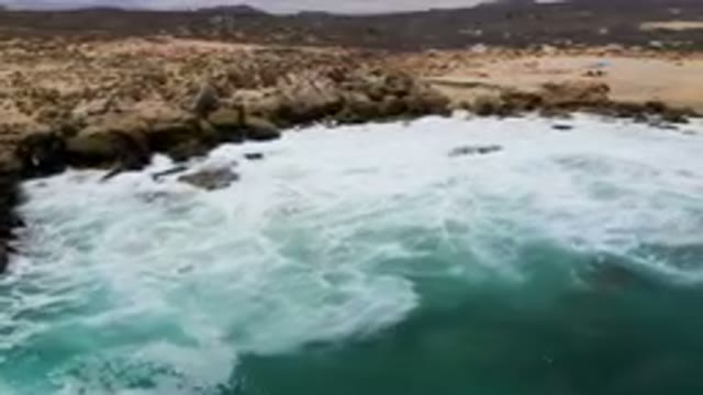
Overhead View Showing Clear Aqua Ocean Water Swimming

No people visible
6s
Aerial Footage Of The Blue Ocean Shoreline And
No people visible
6s
Surfers Riding Waves In The Ocean
People visible
6s
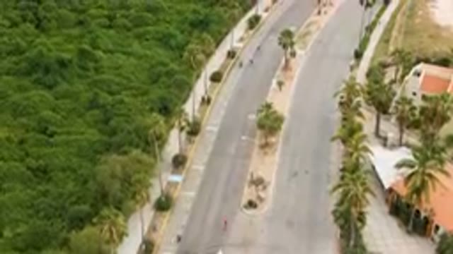
Marathon Runners on A Quiet Street
No people visible
6s
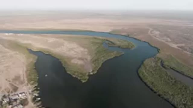
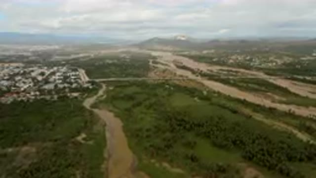
Aerial River Running Through A Desert Area
No people visible
6s
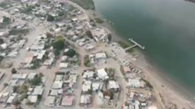
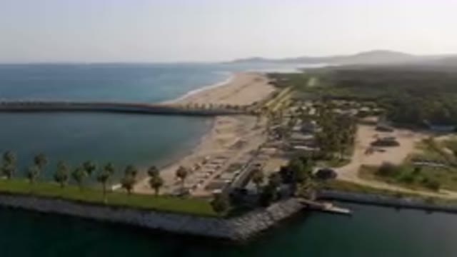
Aerial View of Small Town with Dock
No people visible
6s
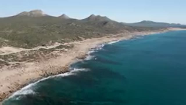
Beach And A Body Of Water With Mountains In The Background
No people visible
6s
Beach And A Body Of Water With Mountains In The Background
No people visible
6s
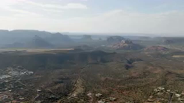
Mountains With A Valley In The Middle Of Them And A
No people visible
6s
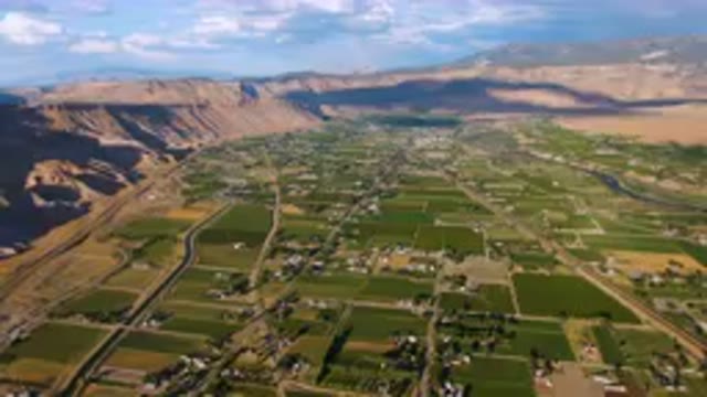
Aerial Valley With A Valley In The Middle
People visible
6s
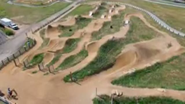
Many People Riding Bikes On A Dirt Track
No people visible
6s
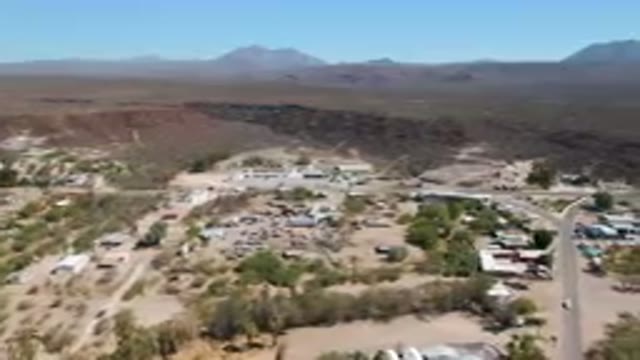
Aerial Small Town In The Middle Of A Desert
No people visible
6s
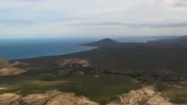
Aerial Large Body Of Water Surrounded By Mountains And Coastline
No people visible
6s
Aerial Beach And Pier With Boat Dock
No people visible
6s
Aerial River Running Through A Lush Green Valley

No people visible
6s
Aerial Beach With Two Boats On Calm Waters
No people visible
6s
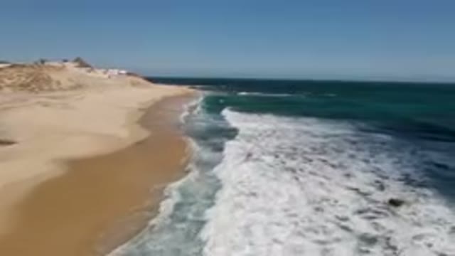
Beach With Waves Coming In
No people visible
6s
Mountain With A Body Of Water In The Background
No people visible
6s
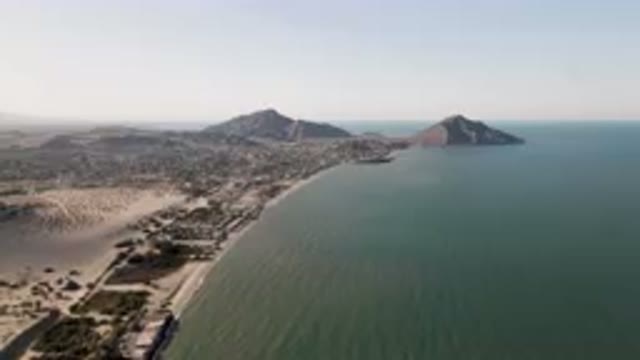
Beach With A Mountain In The Background
No people visible
6s
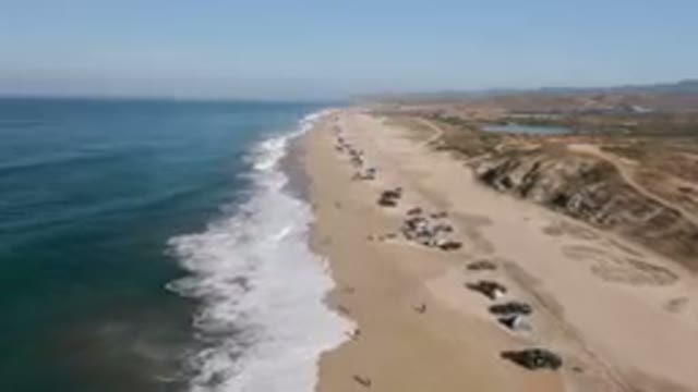
On The Beach With Cars Parked On The Sand
No people visible
6s
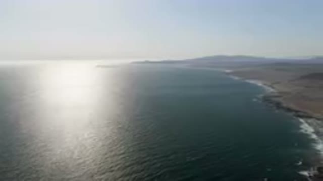
Mountain Range With A Body Of Water In The Distance

No people visible
6s
Video From The Inside Of A Plane As It Is Taking Off