WESTMINSTER COLORADO-2016: Aerial View Of A Flood Devastated Area
About this clip
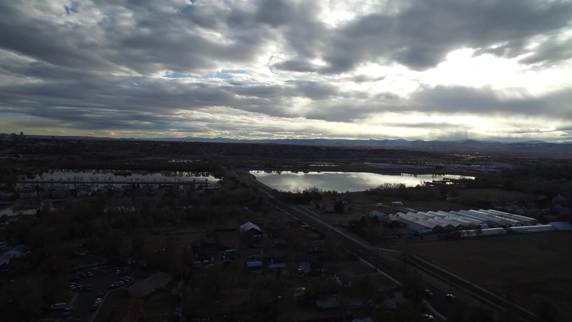
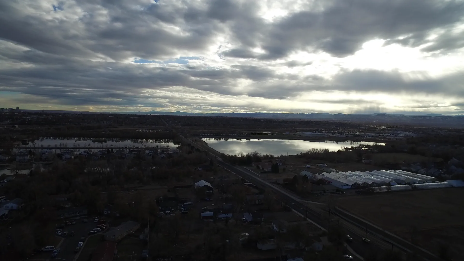
Aerial view of a flood-devastated area in Westminster, Colorado, captured in 2016. This home movie footage shows widespread water damage, submerged landscapes, and a sense of desolation across the region. The dark, overcast skies and flooded terrain convey the aftermath of a natural disaster. Shot on home movie film, the clip offers a raw, authentic glimpse into the impact of flooding, with a cinematic and somber tone. Ideal for documentaries, news segments, or historical content about environmental disasters.
Clip Intelligence
- Production use
- Useful for documentary, news, environmental, or civic planning edits that need an aerial view of flood-affected land in Westminster, Colorado, with dark sky and visible standing water.
- Edit role
- Works as a short opener, transition, or contextual cutaway before ground-level footage of storm impact, emergency response, damaged property, or community recovery.
- Visual details
- The frames show a high aerial view over dark fields, roads, scattered buildings, greenhouse-like structures, reflective water areas, distant low hills, heavy cloud cover, and no visible people.
Shot slate
- Resolution
- 3840 × 2160
- Frame rate
- 29.97 fps
- Duration
- 5s
- Codec
- H.264 MOV
- File size
- 40 MB
- Location
- Westminster, Colorado, United States
- Year filmed
- 2016
- Published
- Nov 2016
Still Frames From This Clip
2 frames exported from the 4K master of this clip, in timeline order. The licensed download is the full-motion master, not these stills.
License this clip royalty-free for $79 (Standard: all media, worldwide, perpetual, up to 1M views) or $199 (Extended: unlimited distribution, broadcast TV, theatrical). Instant 4K download with a license PDF, direct from filmmaker Phil Maher.